Area Overview for RM6 6UL
Photos of RM6 6UL
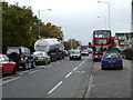
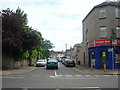
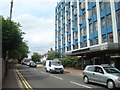
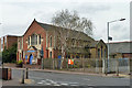
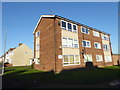
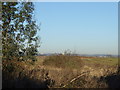
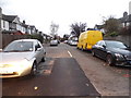
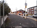
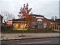
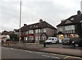
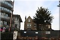
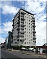
36 photos from this area
Area Information
Key information about the RM6 6UL including its size, population, and administrative classification.
- Area Type
- Postcode
- Area Size
- 8866 m²
- Population
- 2078
- Population Density
- 5534 people/km²
House Prices in RM6 6UL
33
Properties
£355,156
Average Sold Price
£136,000
Lowest Price
£530,000
Highest Price
Showing 33 properties
| Address | Type | Beds | Baths | Last Sale Price | Last Sale Date | |
|---|---|---|---|---|---|---|
| 26 Alexandra Road, Chadwell Heath, RM6 6UL | Semi-detached | 4 | 1 | £515,000 | Jul 2023 | |
| 1 Alexandra Road, Chadwell Heath, RM6 6UL | Retail | 3 | 1 | £450,000 | Jul 2022 | |
| 14 Alexandra Road, Chadwell Heath, RM6 6UL | house | - | - | £530,000 | Jun 2021 | |
| 1A Alexandra Road, Chadwell Heath, RM6 6UL | house | - | - | £385,000 | Feb 2021 | |
| 4 Alexandra Road, Chadwell Heath, RM6 6UL | house | - | - | £360,000 | Feb 2021 | |
| 6 Alexandra Road, Chadwell Heath, RM6 6UL | house | - | - | £450,000 | Jan 2021 | |
| 1B Alexandra Road, Chadwell Heath, RM6 6UL | Semi-detached | 3 | - | £415,000 | Nov 2019 | |
| 29 Alexandra Road, Chadwell Heath, RM6 6UL | Semi-detached | 5 | 1 | £352,000 | Aug 2017 | |
| 21 Alexandra Road, Chadwell Heath, RM6 6UL | Terraced | 3 | 1 | £395,000 | Jul 2017 | |
| 25 Alexandra Road, Chadwell Heath, RM6 6UL | Semi-detached | 5 | 2 | £303,000 | Aug 2015 |
Page 1 of 4
Energy Efficiency in RM6 6UL
Amenities
Schools
| Rank | School | Type | Entry gender | Ages |
|---|
Explore more schools in this area
Go to Schools tabDemographics
Household Size
Family (3-5 people)
most common
Accommodation Type
Houses
most common
Tenure
52
majority
Ethnic Group
White
most common
Religion
N/A
most common
Household Composition
N/A
most common
Age
47
median
Adults (30-64 years)
most common
Household Deprivation
N/A
with no deprivation
NS-SEC
25
in Lower managerial occupations
Explore more demographic insights in this area
Go to Demographics tabPlanning
Planning Constraints
- Flood RiskPremium
- Ramsar Wetland SitesPremium
- Area of Outstanding Natural BeautyPremium
- Protected Nature ReservePremium
- Protected WoodlandPremium