Area Overview for RM6 6SS
Photos of RM6 6SS
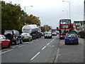
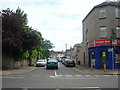
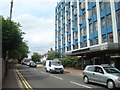

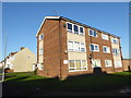
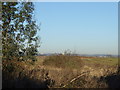
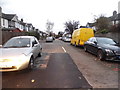
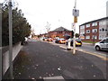

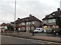
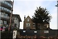
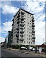
36 photos from this area
Area Information
Key information about the RM6 6SS including its size, population, and administrative classification.
- Area Type
- Postcode
- Area Size
- 8297 m²
- Population
- 1819
- Population Density
- 7081 people/km²
House Prices in RM6 6SS
25
Properties
£302,370
Average Sold Price
£86,000
Lowest Price
£495,000
Highest Price
Showing 25 properties
| Address | Type | Beds | Baths | Last Sale Price | Last Sale Date | |
|---|---|---|---|---|---|---|
| 14 Adelaide Gardens, Chadwell Heath, RM6 6SS | Semi-detached | 3 | 1 | £485,000 | Feb 2024 | |
| 16 Adelaide Gardens, Chadwell Heath, RM6 6SS | Semi-detached | 2 | 1 | £460,000 | Jul 2023 | |
| 24 Adelaide Gardens, Chadwell Heath, RM6 6SS | Bungalow | - | - | £385,000 | Apr 2021 | |
| 10 Adelaide Gardens, Chadwell Heath, RM6 6SS | Bungalow | 4 | 2 | £455,000 | Aug 2020 | |
| 12 Adelaide Gardens, Chadwell Heath, RM6 6SS | Bungalow | 5 | 2 | £495,000 | Nov 2019 | |
| 41 Adelaide Gardens, Chadwell Heath, RM6 6SS | Terraced | - | - | £237,500 | May 2019 | |
| 43 Adelaide Gardens, Chadwell Heath, RM6 6SS | Terraced | 3 | 1 | £390,000 | Aug 2018 | |
| 39 Adelaide Gardens, Chadwell Heath, RM6 6SS | Terraced | 3 | 2 | £400,000 | Oct 2016 | |
| 23 Adelaide Gardens, Chadwell Heath, RM6 6SS | house | - | - | £328,500 | Jun 2015 | |
| 30 Adelaide Gardens, Chadwell Heath, RM6 6SS | Bungalow | 3 | 1 | £280,000 | May 2015 |
Page 1 of 3
Energy Efficiency in RM6 6SS
Amenities
Schools
| Rank | School | Type | Entry gender | Ages |
|---|
Explore more schools in this area
Go to Schools tabDemographics
Household Size
Family (3-5 people)
most common
Accommodation Type
Houses
most common
Tenure
76
majority
Ethnic Group
White
most common
Religion
N/A
most common
Household Composition
N/A
most common
Age
47
median
Adults (30-64 years)
most common
Household Deprivation
N/A
with no deprivation
NS-SEC
28
in Lower managerial occupations
Explore more demographic insights in this area
Go to Demographics tabPlanning
Planning Constraints
- Flood RiskPremium
- Ramsar Wetland SitesPremium
- Area of Outstanding Natural BeautyPremium
- Protected Nature ReservePremium
- Protected WoodlandPremium