Area Overview for RM6 6BH
Photos of RM6 6BH
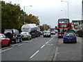
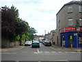
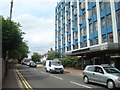
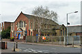
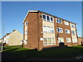
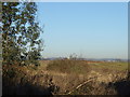
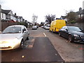
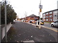
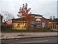
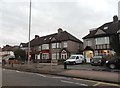
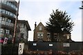
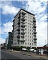
36 photos from this area
Area Information
Key information about the RM6 6BH including its size, population, and administrative classification.
- Area Type
- Postcode
- Area Size
- 4.0 hectares
- Population
- 1770
- Population Density
- 2099 people/km²
House Prices in RM6 6BH
17
Properties
£298,318
Average Sold Price
£118,000
Lowest Price
£480,000
Highest Price
Showing 17 properties
| Address | Type | Beds | Baths | Last Sale Price | Last Sale Date | |
|---|---|---|---|---|---|---|
| 57 Hainault Road, Chadwell Heath, RM6 6BH | house | - | - | £480,000 | Jun 2022 | |
| 100 Hainault Road, Chadwell Heath, RM6 6BH | Semi-detached | 3 | 1 | £362,000 | Sep 2019 | |
| 65 Hainault Road, Chadwell Heath, RM6 6BH | Terraced | 2 | 1 | £315,000 | Jun 2018 | |
| 98 Hainault Road, Chadwell Heath, RM6 6BH | Semi-detached | 3 | 1 | £380,000 | May 2017 | |
| 63 Hainault Road, Chadwell Heath, RM6 6BH | Terraced | 3 | 1 | £356,000 | Mar 2017 | |
| 73 Hainault Road, Chadwell Heath, RM6 6BH | house | - | - | £235,000 | Oct 2009 | |
| 96 Hainault Road, Chadwell Heath, RM6 6BH | Detached | - | - | £360,000 | Dec 2008 | |
| 67 Hainault Road, Chadwell Heath, RM6 6BH | house | - | - | £248,500 | Feb 2007 | |
| 61 Hainault Road, Chadwell Heath, RM6 6BH | house | - | - | £182,000 | Nov 2005 | |
| 53 Hainault Road, Chadwell Heath, RM6 6BH | house | 5 | 3 | £245,000 | Aug 2004 |
Page 1 of 2
Energy Efficiency in RM6 6BH
Amenities
Schools
| Rank | School | Type | Entry gender | Ages |
|---|
Explore more schools in this area
Go to Schools tabDemographics
Household Size
Family (3-5 people)
most common
Accommodation Type
Houses
most common
Tenure
70
majority
Ethnic Group
asian_total
most common
Religion
N/A
most common
Household Composition
N/A
most common
Age
47
median
Adults (30-64 years)
most common
Household Deprivation
N/A
with no deprivation
NS-SEC
30
in Lower managerial occupations
Explore more demographic insights in this area
Go to Demographics tabPlanning
Planning Constraints
- Flood RiskPremium
- Ramsar Wetland SitesPremium
- Area of Outstanding Natural BeautyPremium
- Protected Nature ReservePremium
- Protected WoodlandPremium