Area Overview for RM6 5RY
Photos of RM6 5RY
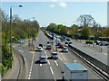
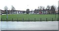
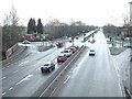
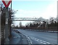
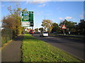
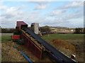
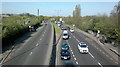
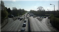
31 photos from this area
Area Information
Key information about the RM6 5RY including its size, population, and administrative classification.
- Area Type
- Postcode
- Area Size
- 4.7 hectares
- Population
- 1958
- Population Density
- 320 people/km²
House Prices in RM6 5RY
47
Properties
£238,333
Average Sold Price
£124,000
Lowest Price
£540,000
Highest Price
Showing 47 properties
| Address | Type | Beds | Baths | Last Sale Price | Last Sale Date | |
|---|---|---|---|---|---|---|
| 2 St James Gardens, Romford, RM6 5RY | house | 3 | - | £540,000 | Oct 2025 | |
| 11 St James Gardens, Romford, RM6 5RY | Terraced | 3 | 2 | £425,000 | Mar 2025 | |
| 29 St James Gardens, Romford, RM6 5RY | Flat | 2 | 2 | £320,000 | Mar 2025 | |
| 42 St James Gardens, Romford, RM6 5RY | Flat | 2 | 2 | £255,000 | Sep 2022 | |
| 21 St James Gardens, Romford, RM6 5RY | Flat | 2 | - | £264,995 | Jan 2022 | |
| 46 St James Gardens, Romford, RM6 5RY | Flat | - | - | £220,000 | Oct 2021 | |
| 40 St James Gardens, Romford, RM6 5RY | Flat | - | - | £255,000 | Apr 2021 | |
| 45 St James Gardens, Romford, RM6 5RY | Flat | 2 | 2 | £272,000 | Sep 2019 | |
| 8 St James Gardens, Romford, RM6 5RY | Detached | - | - | £445,000 | Aug 2019 | |
| 28 St James Gardens, Romford, RM6 5RY | Flat | 3 | 2 | £125,000 | Mar 2017 |
Page 1 of 5
Energy Efficiency in RM6 5RY
Amenities
Schools
| Rank | School | Type | Entry gender | Ages |
|---|
Explore more schools in this area
Go to Schools tabDemographics
Household Size
Family (3-5 people)
most common
Accommodation Type
Houses
most common
Tenure
68
majority
Ethnic Group
asian_total
most common
Religion
N/A
most common
Household Composition
N/A
most common
Age
47
median
Adults (30-64 years)
most common
Household Deprivation
N/A
with no deprivation
NS-SEC
35
in Lower managerial occupations
Explore more demographic insights in this area
Go to Demographics tabPlanning
Planning Constraints
- Flood RiskPremium
- Ramsar Wetland SitesPremium
- Area of Outstanding Natural BeautyPremium
- Protected Nature ReservePremium
- Protected WoodlandPremium