Area Overview for RM5 3EA
Photos of RM5 3EA
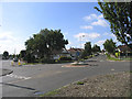
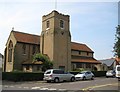
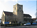
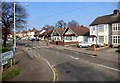
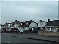
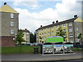
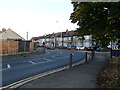
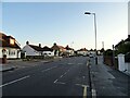
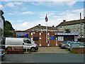
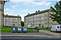
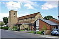
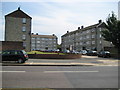
14 photos from this area
Area Information
Key information about the RM5 3EA including its size, population, and administrative classification.
- Area Type
- Postcode
- Area Size
- 6316 m²
- Population
- 1480
- Population Density
- 7115 people/km²
House Prices in RM5 3EA
15
Properties
£246,417
Average Sold Price
£62,000
Lowest Price
£440,000
Highest Price
Showing 15 properties
| Address | Type | Beds | Baths | Last Sale Price | Last Sale Date | |
|---|---|---|---|---|---|---|
| 166A Collier Row Lane, Romford, RM5 3EA | Flat | - | - | £329,000 | Nov 2024 | |
| 160 Collier Row Lane, Romford, RM5 3EA | Bungalow | 4 | 2 | £440,000 | Mar 2020 | |
| 162A Collier Row Lane, Romford, RM5 3EA | Maisonette | 2 | 1 | £245,000 | Jul 2019 | |
| 182 Collier Row Lane, Romford, RM5 3EA | Bungalow | - | - | £330,000 | Aug 2004 | |
| 168A Collier Row Lane, Romford, RM5 3EA | Maisonette | - | - | £72,500 | Apr 2002 | |
| 248A Collier Row Lane, Romford, RM5 3EA | Terraced | - | - | £62,000 | Aug 1996 | |
| 158 Collier Row Lane, Romford, RM5 3EA | Detached | 3 | 1 | - | - | |
| 180A Collier Row Lane, Romford, RM5 3EA | Flat | - | - | - | - | |
| 184 Collier Row Lane, Romford, RM5 3EA | Semi-detached | - | - | - | - | |
| 176 Collier Row Lane, Romford, RM5 3EA | Detached | - | - | - | - |
Page 1 of 2
Energy Efficiency in RM5 3EA
Amenities
Schools
| Rank | School | Type | Entry gender | Ages |
|---|
Explore more schools in this area
Go to Schools tabDemographics
Household Size
Family (3-5 people)
most common
Accommodation Type
Houses
most common
Tenure
70
majority
Ethnic Group
White
most common
Religion
N/A
most common
Household Composition
N/A
most common
Age
47
median
Adults (30-64 years)
most common
Household Deprivation
N/A
with no deprivation
NS-SEC
28
in Lower managerial occupations
Explore more demographic insights in this area
Go to Demographics tabPlanning
Planning Constraints
- Flood RiskPremium
- Ramsar Wetland SitesPremium
- Area of Outstanding Natural BeautyPremium
- Protected Nature ReservePremium
- Protected WoodlandPremium