Area Overview for RM5 3AP
Photos of RM5 3AP
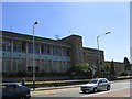
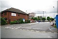
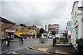
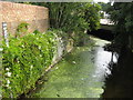
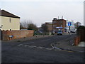
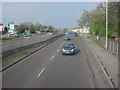
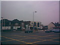
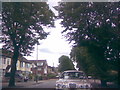

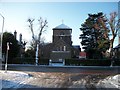
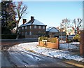
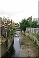
54 photos from this area
Area Information
Key information about the RM5 3AP including its size, population, and administrative classification.
- Area Type
- Postcode
- Area Size
- 9343 m²
- Population
- 1794
- Population Density
- 6268 people/km²
House Prices in RM5 3AP
29
Properties
£302,833
Average Sold Price
£75,000
Lowest Price
£555,000
Highest Price
Showing 29 properties
| Address | Type | Beds | Baths | Last Sale Price | Last Sale Date | |
|---|---|---|---|---|---|---|
| 112 Hainault Road, Romford, RM5 3AP | Semi-detached | 4 | 2 | £555,000 | Aug 2023 | |
| 108 Hainault Road, Romford, RM5 3AP | Semi-detached | 3 | 1 | £490,000 | Dec 2022 | |
| 142 Hainault Road, Romford, RM5 3AP | Semi-detached | 3 | 1 | £500,000 | Jul 2022 | |
| 120 Hainault Road, Romford, RM5 3AP | house | - | - | £535,000 | Mar 2022 | |
| 136 Hainault Road, Romford, RM5 3AP | house | - | - | £420,000 | Sep 2021 | |
| 102 Hainault Road, Romford, RM5 3AP | house | - | - | £415,000 | Sep 2021 | |
| 144 Hainault Road, Romford, RM5 3AP | Semi-detached | 5 | 2 | £300,000 | Feb 2016 | |
| 146 Hainault Road, Romford, RM5 3AP | Terraced | 3 | - | £315,000 | Sep 2015 | |
| 128 Hainault Road, Romford, RM5 3AP | house | - | - | £245,000 | Aug 2015 | |
| 158 Hainault Road, Romford, RM5 3AP | Terraced | 4 | - | £320,000 | Jul 2015 |
Page 1 of 3
Energy Efficiency in RM5 3AP
Amenities
Schools
| Rank | School | Type | Entry gender | Ages |
|---|
Explore more schools in this area
Go to Schools tabDemographics
Household Size
Family (3-5 people)
most common
Accommodation Type
Houses
most common
Tenure
84
majority
Ethnic Group
White
most common
Religion
N/A
most common
Household Composition
N/A
most common
Age
47
median
Adults (30-64 years)
most common
Household Deprivation
N/A
with no deprivation
NS-SEC
34
in Lower managerial occupations
Explore more demographic insights in this area
Go to Demographics tabPlanning
Planning Constraints
- Flood RiskPremium
- Ramsar Wetland SitesPremium
- Area of Outstanding Natural BeautyPremium
- Protected Nature ReservePremium
- Protected WoodlandPremium