Area Overview for RM3 9AS
Photos of RM3 9AS
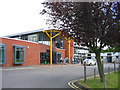
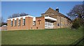
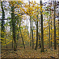
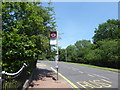
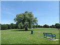
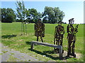
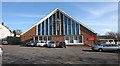
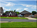
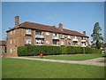
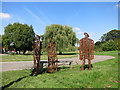
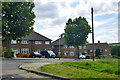
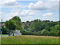
18 photos from this area
Area Information
Key information about the RM3 9AS including its size, population, and administrative classification.
- Area Type
- Postcode
- Area Size
- 5.4 hectares
- Population
- 2074
- Population Density
- 475 people/km²
House Prices in RM3 9AS
27
Properties
£404,900
Average Sold Price
£60,000
Lowest Price
£730,000
Highest Price
Showing 27 properties
| Address | Type | Beds | Baths | Last Sale Price | Last Sale Date | |
|---|---|---|---|---|---|---|
| 9 Priory Grove, Romford, RM3 9AS | house | - | - | £730,000 | Feb 2024 | |
| 27 Priory Grove, Romford, RM3 9AS | house | - | - | £618,000 | Nov 2021 | |
| 35 Priory Grove, Romford, RM3 9AS | house | - | - | £450,000 | Jun 2021 | |
| 7 Priory Grove, Romford, RM3 9AS | house | - | - | £550,000 | Nov 2020 | |
| 39 Priory Grove, Romford, RM3 9AS | Terraced | 3 | 2 | £303,000 | Aug 2019 | |
| 13 Priory Grove, Romford, RM3 9AS | house | 4 | 1 | £580,000 | Oct 2017 | |
| 31 Priory Grove, Romford, RM3 9AS | house | - | - | £535,000 | Nov 2016 | |
| 11 Priory Grove, Romford, RM3 9AS | Semi-detached | 4 | - | £360,000 | Jul 2015 | |
| 21 Priory Grove, Romford, RM3 9AS | Semi-detached | 5 | - | £400,000 | Jun 2014 | |
| Hunters Lodge, 31A Priory Grove, Romford, RM3 9AS | house | 6 | - | £390,000 | May 2012 |
Page 1 of 3
Energy Efficiency in RM3 9AS
Amenities
Schools
| Rank | School | Type | Entry gender | Ages |
|---|
Explore more schools in this area
Go to Schools tabDemographics
Household Size
Family (3-5 people)
most common
Accommodation Type
Houses
most common
Tenure
63
majority
Ethnic Group
White
most common
Religion
N/A
most common
Household Composition
N/A
most common
Age
47
median
Adults (30-64 years)
most common
Household Deprivation
N/A
with no deprivation
NS-SEC
25
in Lower managerial occupations
Explore more demographic insights in this area
Go to Demographics tabPlanning
Planning Constraints
- Flood RiskPremium
- Ramsar Wetland SitesPremium
- Area of Outstanding Natural BeautyPremium
- Protected Nature ReservePremium
- Protected WoodlandPremium