Area Overview for RM3 8QL
Photos of RM3 8QL
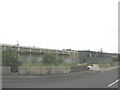
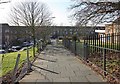
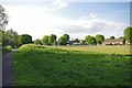
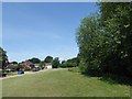
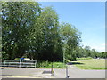
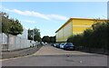
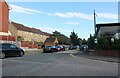
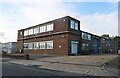
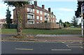
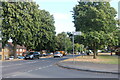
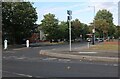
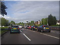
22 photos from this area
Area Information
Key information about the RM3 8QL including its size, population, and administrative classification.
- Area Type
- Postcode
- Area Size
- 6320 m²
- Population
- 1817
- Population Density
- 5381 people/km²
House Prices in RM3 8QL
15
Properties
£205,175
Average Sold Price
£67,225
Lowest Price
£390,000
Highest Price
Showing 15 properties
| Address | Type | Beds | Baths | Last Sale Price | Last Sale Date | |
|---|---|---|---|---|---|---|
| 116 Camborne Avenue, Romford, RM3 8QL | Terraced | 3 | 2 | £390,000 | Dec 2023 | |
| 119 Camborne Avenue, Romford, RM3 8QL | house | - | - | £230,000 | Dec 2014 | |
| 121 Camborne Avenue, Romford, RM3 8QL | house | 3 | - | £192,000 | Feb 2012 | |
| 98 Camborne Avenue, Romford, RM3 8QL | Terraced | 3 | - | £194,000 | Sep 2010 | |
| 104 Camborne Avenue, Romford, RM3 8QL | Terraced | 3 | 1 | £208,000 | Aug 2008 | |
| 110 Camborne Avenue, Romford, RM3 8QL | Terraced | - | - | £155,000 | Feb 2004 | |
| 100 Camborne Avenue, Romford, RM3 8QL | Detached | 3 | 1 | £67,225 | Aug 1998 | |
| 117 Camborne Avenue, Romford, RM3 8QL | Terraced | 3 | 2 | - | - | |
| 108 Camborne Avenue, Romford, RM3 8QL | Terraced | - | - | - | - | |
| 112 Camborne Avenue, Romford, RM3 8QL | Terraced | - | - | - | - |
Page 1 of 2
Energy Efficiency in RM3 8QL
Amenities
Schools
| Rank | School | Type | Entry gender | Ages |
|---|
Explore more schools in this area
Go to Schools tabDemographics
Household Size
Family (3-5 people)
most common
Accommodation Type
Houses
most common
Tenure
65
majority
Ethnic Group
White
most common
Religion
N/A
most common
Household Composition
N/A
most common
Age
47
median
Adults (30-64 years)
most common
Household Deprivation
N/A
with no deprivation
NS-SEC
27
in Lower managerial occupations
Explore more demographic insights in this area
Go to Demographics tabPlanning
Planning Constraints
- Flood RiskPremium
- Ramsar Wetland SitesPremium
- Area of Outstanding Natural BeautyPremium
- Protected Nature ReservePremium
- Protected WoodlandPremium