Area Overview for RM2 5TH
Photos of RM2 5TH
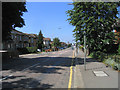
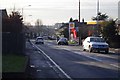
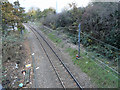
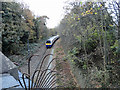
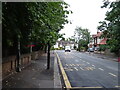
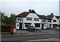
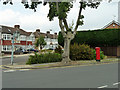
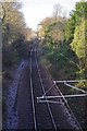
19 photos from this area
Area Information
Key information about the RM2 5TH including its size, population, and administrative classification.
- Area Type
- Postcode
- Area Size
- 1.4 hectares
- Population
- 1600
- Population Density
- 4474 people/km²
House Prices in RM2 5TH
41
Properties
£325,138
Average Sold Price
£57,000
Lowest Price
£670,000
Highest Price
Showing 41 properties
| Address | Type | Beds | Baths | Last Sale Price | Last Sale Date | |
|---|---|---|---|---|---|---|
| 365 Brentwood Road, Romford, RM2 5TH | Semi-detached | 4 | 1 | £560,000 | Aug 2025 | |
| 327 Brentwood Road, Romford, RM2 5TH | Terraced | 2 | 1 | £370,000 | May 2025 | |
| 355 Brentwood Road, Romford, RM2 5TH | Semi-detached | 3 | 2 | £540,000 | Nov 2024 | |
| 393 Brentwood Road, Romford, RM2 5TH | house | - | - | £300,000 | May 2024 | |
| 359 Brentwood Road, Romford, RM2 5TH | Semi-detached | 3 | 1 | £477,500 | Feb 2024 | |
| 345 Brentwood Road, Romford, RM2 5TH | Detached | 3 | 1 | £555,000 | Jan 2024 | |
| 375 Brentwood Road, Romford, RM2 5TH | Semi-detached | 2 | 1 | £430,000 | Jun 2023 | |
| 381 Brentwood Road, Romford, RM2 5TH | Semi-detached | 3 | 1 | £490,000 | Apr 2023 | |
| 339 Brentwood Road, Romford, RM2 5TH | Detached | 4 | 2 | £670,000 | Nov 2022 | |
| 323 Brentwood Road, Romford, RM2 5TH | Terraced | 2 | 1 | £426,000 | Jul 2022 |
Page 1 of 5
Energy Efficiency in RM2 5TH
Amenities
Schools
| Rank | School | Type | Entry gender | Ages |
|---|
Explore more schools in this area
Go to Schools tabDemographics
Household Size
Family (3-5 people)
most common
Accommodation Type
Houses
most common
Tenure
67
majority
Ethnic Group
White
most common
Religion
N/A
most common
Household Composition
N/A
most common
Age
47
median
Adults (30-64 years)
most common
Household Deprivation
N/A
with no deprivation
NS-SEC
42
in Lower managerial occupations
Explore more demographic insights in this area
Go to Demographics tabPlanning
Planning Constraints
- Flood RiskPremium
- Ramsar Wetland SitesPremium
- Area of Outstanding Natural BeautyPremium
- Protected Nature ReservePremium
- Protected WoodlandPremium