Area Overview for RM2 5ST
Photos of RM2 5ST
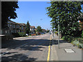
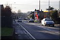
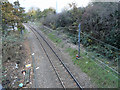
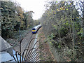
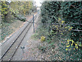
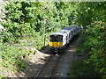
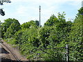
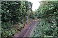
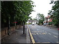
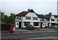
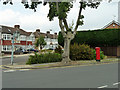
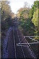
19 photos from this area
Area Information
Key information about the RM2 5ST including its size, population, and administrative classification.
- Area Type
- Postcode
- Area Size
- 7492 m²
- Population
- 1815
- Population Density
- 5771 people/km²
House Prices in RM2 5ST
26
Properties
£323,984
Average Sold Price
£68,500
Lowest Price
£555,000
Highest Price
Showing 26 properties
| Address | Type | Beds | Baths | Last Sale Price | Last Sale Date | |
|---|---|---|---|---|---|---|
| 277 Brentwood Road, Romford, RM2 5ST | Semi-detached | 3 | 2 | £512,000 | Dec 2023 | |
| 283 Brentwood Road, Romford, RM2 5ST | Semi-detached | 3 | 2 | £520,000 | Nov 2022 | |
| 285 Brentwood Road, Romford, RM2 5ST | Semi-detached | 3 | 1 | £555,000 | Sep 2022 | |
| 257 Brentwood Road, Romford, RM2 5ST | Terraced | 3 | 1 | £323,000 | Sep 2021 | |
| 259 Brentwood Road, Romford, RM2 5ST | house | - | - | £415,000 | Jun 2021 | |
| 281 Brentwood Road, Romford, RM2 5ST | Semi-detached | 3 | 2 | £517,000 | Nov 2020 | |
| 271 Brentwood Road, Romford, RM2 5ST | house | - | - | £425,000 | May 2020 | |
| 255 Brentwood Road, Romford, RM2 5ST | Terraced | 3 | 2 | £368,750 | Jun 2018 | |
| 295 Brentwood Road, Romford, RM2 5ST | Detached | 4 | 2 | £460,000 | Sep 2015 | |
| 291 Brentwood Road, Romford, RM2 5ST | Semi-detached | 3 | - | £263,000 | Aug 2013 |
Page 1 of 3
Energy Efficiency in RM2 5ST
Amenities
Schools
| Rank | School | Type | Entry gender | Ages |
|---|
Explore more schools in this area
Go to Schools tabDemographics
Household Size
Family (3-5 people)
most common
Accommodation Type
Houses
most common
Tenure
72
majority
Ethnic Group
White
most common
Religion
N/A
most common
Household Composition
N/A
most common
Age
47
median
Adults (30-64 years)
most common
Household Deprivation
N/A
with no deprivation
NS-SEC
43
in Lower managerial occupations
Explore more demographic insights in this area
Go to Demographics tabPlanning
Planning Constraints
- Flood RiskPremium
- Ramsar Wetland SitesPremium
- Area of Outstanding Natural BeautyPremium
- Protected Nature ReservePremium
- Protected WoodlandPremium