Area Overview for RM14 2RR
Photos of RM14 2RR
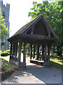
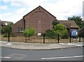
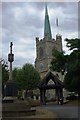
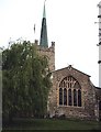
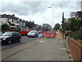
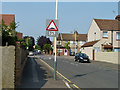
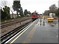
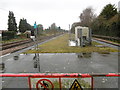
48 photos from this area
Area Information
Key information about the RM14 2RR including its size, population, and administrative classification.
- Area Type
- Postcode
- Area Size
- 9416 m²
- Population
- 1664
- Population Density
- 6127 people/km²
House Prices in RM14 2RR
24
Properties
£362,733
Average Sold Price
£128,000
Lowest Price
£615,000
Highest Price
Showing 24 properties
| Address | Type | Beds | Baths | Last Sale Price | Last Sale Date | |
|---|---|---|---|---|---|---|
| 7 Belmont Avenue, Upminster, RM14 2RR | Bungalow | 2 | 1 | £435,000 | Mar 2024 | |
| 15 Belmont Avenue, Upminster, RM14 2RR | Bungalow | - | - | £420,000 | Mar 2023 | |
| 6 Belmont Avenue, Upminster, RM14 2RR | Semi-detached | 2 | - | £535,000 | Oct 2022 | |
| 9 Belmont Avenue, Upminster, RM14 2RR | Bungalow | - | - | £450,000 | Mar 2022 | |
| 23 Belmont Avenue, Upminster, RM14 2RR | Detached | 2 | 1 | £390,000 | Nov 2020 | |
| 5 Belmont Avenue, Upminster, RM14 2RR | Semi-detached | 2 | - | £455,000 | Jul 2019 | |
| 16 Belmont Avenue, Upminster, RM14 2RR | Semi-detached | 4 | 1 | £615,000 | Jul 2018 | |
| 11 Belmont Avenue, Upminster, RM14 2RR | Bungalow | - | - | £390,000 | Jun 2018 | |
| 1 Belmont Avenue, Upminster, RM14 2RR | Terraced | - | - | £605,000 | Jul 2017 | |
| 3 Belmont Avenue, Upminster, RM14 2RR | Semi-detached | 4 | 2 | £304,000 | Jun 2007 |
Page 1 of 3
Energy Efficiency in RM14 2RR
Amenities
Schools
| Rank | School | Type | Entry gender | Ages |
|---|
Explore more schools in this area
Go to Schools tabDemographics
Household Size
Family (3-5 people)
most common
Accommodation Type
Houses
most common
Tenure
85
majority
Ethnic Group
White
most common
Religion
N/A
most common
Household Composition
N/A
most common
Age
47
median
Adults (30-64 years)
most common
Household Deprivation
N/A
with no deprivation
NS-SEC
38
in Lower managerial occupations
Explore more demographic insights in this area
Go to Demographics tabPlanning
Planning Constraints
- Flood RiskPremium
- Ramsar Wetland SitesPremium
- Area of Outstanding Natural BeautyPremium
- Protected Nature ReservePremium
- Protected WoodlandPremium