Area Overview for RM14 1NW
Photos of RM14 1NW
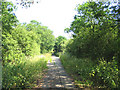
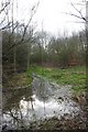
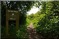

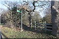
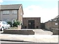
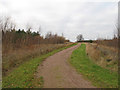
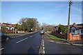
20 photos from this area
Area Information
Key information about the RM14 1NW including its size, population, and administrative classification.
- Area Type
- Postcode
- Area Size
- 1.2 hectares
- Population
- 1591
- Population Density
- 1378 people/km²
House Prices in RM14 1NW
34
Properties
£222,648
Average Sold Price
£54,000
Lowest Price
£300,000
Highest Price
Showing 34 properties
| Address | Type | Beds | Baths | Last Sale Price | Last Sale Date | |
|---|---|---|---|---|---|---|
| 28 Roseberry Gardens, Upminster, RM14 1NW | Maisonette | - | - | £297,500 | Aug 2024 | |
| 30 Roseberry Gardens, Upminster, RM14 1NW | Flat | - | - | £255,000 | Jul 2024 | |
| 66 Roseberry Gardens, Upminster, RM14 1NW | Maisonette | - | - | £290,000 | Dec 2023 | |
| 78 Roseberry Gardens, Upminster, RM14 1NW | Maisonette | - | - | £300,000 | Apr 2023 | |
| 76 Roseberry Gardens, Upminster, RM14 1NW | Flat | - | - | £295,000 | Nov 2022 | |
| 26 Roseberry Gardens, Upminster, RM14 1NW | Maisonette | - | - | £270,000 | Oct 2021 | |
| 40 Roseberry Gardens, Upminster, RM14 1NW | Flat | - | - | £270,000 | Nov 2020 | |
| 44 Roseberry Gardens, Upminster, RM14 1NW | Maisonette | - | - | £230,000 | Feb 2019 | |
| 62 Roseberry Gardens, Upminster, RM14 1NW | Maisonette | 2 | 1 | £235,000 | Jan 2019 | |
| 38 Roseberry Gardens, Upminster, RM14 1NW | Maisonette | - | - | £300,000 | Oct 2018 |
Page 1 of 4
Energy Efficiency in RM14 1NW
Amenities
Schools
| Rank | School | Type | Entry gender | Ages |
|---|
Explore more schools in this area
Go to Schools tabDemographics
Household Size
Family (3-5 people)
most common
Accommodation Type
Houses
most common
Tenure
89
majority
Ethnic Group
White
most common
Religion
N/A
most common
Household Composition
N/A
most common
Age
47
median
Adults (30-64 years)
most common
Household Deprivation
N/A
with no deprivation
NS-SEC
36
in Lower managerial occupations
Explore more demographic insights in this area
Go to Demographics tabPlanning
Planning Constraints
- Flood RiskPremium
- Ramsar Wetland SitesPremium
- Area of Outstanding Natural BeautyPremium
- Protected Nature ReservePremium
- Protected WoodlandPremium