Area Overview for RM13 7UA
Photos of RM13 7UA
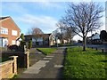
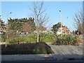
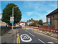
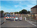
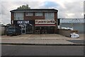
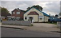
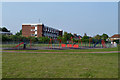
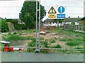
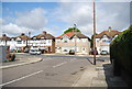
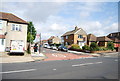
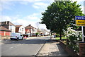
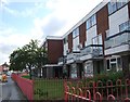
20 photos from this area
Area Information
Key information about the RM13 7UA including its size, population, and administrative classification.
- Area Type
- Postcode
- Area Size
- 1.7 hectares
- Population
- 1701
- Population Density
- 5457 people/km²
House Prices in RM13 7UA
47
Properties
£267,357
Average Sold Price
£64,000
Lowest Price
£410,000
Highest Price
Showing 47 properties
| Address | Type | Beds | Baths | Last Sale Price | Last Sale Date | |
|---|---|---|---|---|---|---|
| 83 Harlow Road, Rainham, RM13 7UA | Terraced | 3 | 1 | £370,000 | May 2025 | |
| 70 Harlow Road, Rainham, RM13 7UA | Terraced | 3 | 1 | £410,000 | Aug 2024 | |
| 62 Harlow Road, Rainham, RM13 7UA | Maisonette | 2 | 1 | £320,000 | May 2024 | |
| 58 Harlow Road, Rainham, RM13 7UA | Maisonette | 3 | 2 | £297,000 | Jun 2023 | |
| 66 Harlow Road, Rainham, RM13 7UA | Flat | - | - | £285,000 | Sep 2022 | |
| 103 Harlow Road, Rainham, RM13 7UA | house | 3 | 1 | £401,000 | Aug 2022 | |
| 64 Harlow Road, Rainham, RM13 7UA | Flat | 2 | 1 | £290,000 | Jul 2022 | |
| 97 Harlow Road, Rainham, RM13 7UA | house | - | - | £378,000 | Dec 2021 | |
| 98 Harlow Road, Rainham, RM13 7UA | Terraced | 3 | - | £360,000 | Jun 2021 | |
| 99 Harlow Road, Rainham, RM13 7UA | house | - | - | £330,000 | Mar 2021 |
Page 1 of 5
Energy Efficiency in RM13 7UA
Amenities
Schools
| Rank | School | Type | Entry gender | Ages |
|---|
Explore more schools in this area
Go to Schools tabDemographics
Household Size
Family (3-5 people)
most common
Accommodation Type
Houses
most common
Tenure
82
majority
Ethnic Group
White
most common
Religion
N/A
most common
Household Composition
N/A
most common
Age
47
median
Adults (30-64 years)
most common
Household Deprivation
N/A
with no deprivation
NS-SEC
28
in Lower managerial occupations
Explore more demographic insights in this area
Go to Demographics tabPlanning
Planning Constraints
- Flood RiskPremium
- Ramsar Wetland SitesPremium
- Area of Outstanding Natural BeautyPremium
- Protected Nature ReservePremium
- Protected WoodlandPremium