Area Overview for RM13 7DL
Photos of RM13 7DL
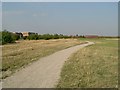
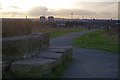
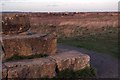
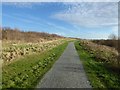
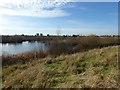
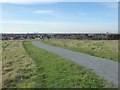
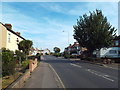
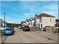
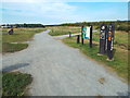
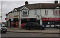
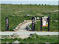
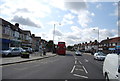
44 photos from this area
Area Information
Key information about the RM13 7DL including its size, population, and administrative classification.
- Area Type
- Postcode
- Area Size
- 7994 m²
- Population
- 1695
- Population Density
- 7715 people/km²
House Prices in RM13 7DL
37
Properties
£276,958
Average Sold Price
£65,000
Lowest Price
£420,000
Highest Price
Showing 37 properties
| Address | Type | Beds | Baths | Last Sale Price | Last Sale Date | |
|---|---|---|---|---|---|---|
| 47 Gainsborough Road, Rainham, RM13 7DL | Terraced | 3 | - | £415,000 | Mar 2025 | |
| 55 Gainsborough Road, Rainham, RM13 7DL | Retail | 3 | 1 | £420,000 | Feb 2023 | |
| 25 Gainsborough Road, Rainham, RM13 7DL | house | - | - | £407,000 | Oct 2021 | |
| 15 Gainsborough Road, Rainham, RM13 7DL | Terraced | - | - | £378,000 | Aug 2021 | |
| 17 Gainsborough Road, Rainham, RM13 7DL | Semi-detached | 3 | 1 | £315,000 | Jan 2020 | |
| 31 Gainsborough Road, Rainham, RM13 7DL | Terraced | 3 | 1 | £345,000 | Sep 2019 | |
| 21 Gainsborough Road, Rainham, RM13 7DL | house | - | - | £342,000 | Jun 2018 | |
| 9 Gainsborough Road, Rainham, RM13 7DL | Terraced | 3 | 1 | £318,000 | May 2018 | |
| 39 Gainsborough Road, Rainham, RM13 7DL | Terraced | 3 | 2 | £345,000 | May 2018 | |
| 75 Gainsborough Road, Rainham, RM13 7DL | Terraced | 3 | 1 | £322,500 | Nov 2017 |
Page 1 of 4
Energy Efficiency in RM13 7DL
Amenities
Schools
| Rank | School | Type | Entry gender | Ages |
|---|
Explore more schools in this area
Go to Schools tabDemographics
Household Size
Family (3-5 people)
most common
Accommodation Type
Houses
most common
Tenure
80
majority
Ethnic Group
White
most common
Religion
N/A
most common
Household Composition
N/A
most common
Age
47
median
Adults (30-64 years)
most common
Household Deprivation
N/A
with no deprivation
NS-SEC
28
in Lower managerial occupations
Explore more demographic insights in this area
Go to Demographics tabPlanning
Planning Constraints
- Flood RiskPremium
- Ramsar Wetland SitesPremium
- Area of Outstanding Natural BeautyPremium
- Protected Nature ReservePremium
- Protected WoodlandPremium