Area Overview for RM12 6TP
Photos of RM12 6TP
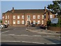
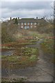
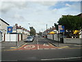
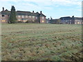
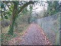
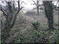

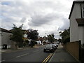

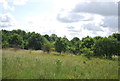
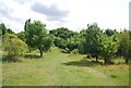
21 photos from this area
Area Information
Key information about the RM12 6TP including its size, population, and administrative classification.
- Area Type
- Postcode
- Area Size
- 9652 m²
- Population
- 1508
- Population Density
- 2928 people/km²
House Prices in RM12 6TP
41
Properties
£203,717
Average Sold Price
£47,950
Lowest Price
£425,000
Highest Price
Showing 41 properties
| Address | Type | Beds | Baths | Last Sale Price | Last Sale Date | |
|---|---|---|---|---|---|---|
| 1 Sarre Avenue, Hornchurch, RM12 6TP | Semi-detached | 2 | 1 | £425,000 | May 2025 | |
| 52 Sarre Avenue, Hornchurch, RM12 6TP | Terraced | 2 | 1 | £415,000 | Sep 2024 | |
| 13 Sarre Avenue, Hornchurch, RM12 6TP | Semi-detached | 2 | 1 | £406,500 | May 2024 | |
| 8 Sarre Avenue, Hornchurch, RM12 6TP | Maisonette | 1 | 1 | £260,000 | Jul 2023 | |
| 24 Sarre Avenue, Hornchurch, RM12 6TP | Maisonette | - | - | £250,000 | Feb 2022 | |
| 9 Sarre Avenue, Hornchurch, RM12 6TP | house | - | - | £335,000 | Feb 2021 | |
| 14 Sarre Avenue, Hornchurch, RM12 6TP | Flat | - | - | £231,500 | Jan 2019 | |
| 3 Sarre Avenue, Hornchurch, RM12 6TP | Detached | 2 | 1 | £360,000 | Apr 2018 | |
| 54 Sarre Avenue, Hornchurch, RM12 6TP | Maisonette | - | - | £216,000 | Mar 2018 | |
| 10 Sarre Avenue, Hornchurch, RM12 6TP | Flat | - | - | £210,000 | Nov 2017 |
Page 1 of 5
Energy Efficiency in RM12 6TP
Amenities
Schools
| Rank | School | Type | Entry gender | Ages |
|---|
Explore more schools in this area
Go to Schools tabDemographics
Household Size
Family (3-5 people)
most common
Accommodation Type
Houses
most common
Tenure
83
majority
Ethnic Group
White
most common
Religion
N/A
most common
Household Composition
N/A
most common
Age
47
median
Adults (30-64 years)
most common
Household Deprivation
N/A
with no deprivation
NS-SEC
34
in Lower managerial occupations
Explore more demographic insights in this area
Go to Demographics tabPlanning
Planning Constraints
- Flood RiskPremium
- Ramsar Wetland SitesPremium
- Area of Outstanding Natural BeautyPremium
- Protected Nature ReservePremium
- Protected WoodlandPremium