Area Overview for RM12 4LZ
Photos of RM12 4LZ
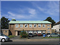
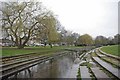
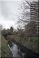
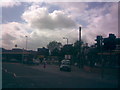
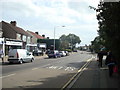
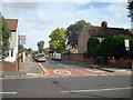
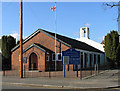
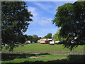
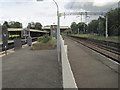
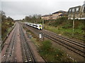
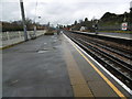
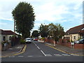
48 photos from this area
Area Information
Key information about the RM12 4LZ including its size, population, and administrative classification.
- Area Type
- Postcode
- Area Size
- 1.4 hectares
- Population
- 1480
- Population Density
- 5968 people/km²
House Prices in RM12 4LZ
38
Properties
£346,719
Average Sold Price
£56,000
Lowest Price
£610,000
Highest Price
Showing 38 properties
| Address | Type | Beds | Baths | Last Sale Price | Last Sale Date | |
|---|---|---|---|---|---|---|
| 125 Suttons Avenue, Hornchurch, RM12 4LZ | Detached | 3 | 1 | £610,000 | Jul 2025 | |
| 145 Suttons Avenue, Hornchurch, RM12 4LZ | Terraced | 3 | 2 | £535,000 | Jun 2025 | |
| 138 Suttons Avenue, Hornchurch, RM12 4LZ | Terraced | 3 | 1 | £500,000 | Mar 2025 | |
| 132 Suttons Avenue, Hornchurch, RM12 4LZ | Terraced | 3 | 1 | £440,000 | Nov 2024 | |
| 131 Suttons Avenue, Hornchurch, RM12 4LZ | Semi-detached | 3 | 2 | £550,000 | Oct 2024 | |
| 135 Suttons Avenue, Hornchurch, RM12 4LZ | Semi-detached | 3 | 1 | £511,650 | Jul 2024 | |
| 137 Suttons Avenue, Hornchurch, RM12 4LZ | house | - | - | £543,500 | Jun 2024 | |
| 139 Suttons Avenue, Hornchurch, RM12 4LZ | Terraced | 3 | 1 | £415,000 | Nov 2023 | |
| 107 Suttons Avenue, Hornchurch, RM12 4LZ | Retail | 3 | 2 | £545,000 | Feb 2023 | |
| 136 Suttons Avenue, Hornchurch, RM12 4LZ | Retail | 3 | 1 | £450,000 | Oct 2022 |
Page 1 of 4
Energy Efficiency in RM12 4LZ
Amenities
Schools
| Rank | School | Type | Entry gender | Ages |
|---|
Explore more schools in this area
Go to Schools tabDemographics
Household Size
Family (3-5 people)
most common
Accommodation Type
Houses
most common
Tenure
64
majority
Ethnic Group
White
most common
Religion
N/A
most common
Household Composition
N/A
most common
Age
47
median
Adults (30-64 years)
most common
Household Deprivation
N/A
with no deprivation
NS-SEC
29
in Lower managerial occupations
Explore more demographic insights in this area
Go to Demographics tabPlanning
Planning Constraints
- Flood RiskPremium
- Ramsar Wetland SitesPremium
- Area of Outstanding Natural BeautyPremium
- Protected Nature ReservePremium
- Protected WoodlandPremium