Area Overview for RM12 4BE
Photos of RM12 4BE
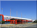
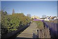
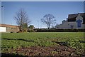

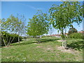
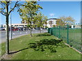

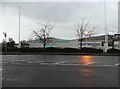
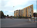
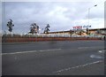
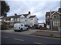
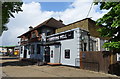
36 photos from this area
Area Information
Key information about the RM12 4BE including its size, population, and administrative classification.
- Area Type
- Postcode
- Area Size
- 1.3 hectares
- Population
- 1861
- Population Density
- 4927 people/km²
House Prices in RM12 4BE
42
Properties
£347,921
Average Sold Price
£59,995
Lowest Price
£585,000
Highest Price
Showing 42 properties
| Address | Type | Beds | Baths | Last Sale Price | Last Sale Date | |
|---|---|---|---|---|---|---|
| 39 Upper Rainham Road, Hornchurch, RM12 4BE | Semi-detached | 3 | 1 | £534,500 | Jan 2025 | |
| 51 Upper Rainham Road, Hornchurch, RM12 4BE | Semi-detached | 5 | 3 | £580,000 | Nov 2022 | |
| 59 Upper Rainham Road, Hornchurch, RM12 4BE | house | - | - | £460,000 | Jun 2021 | |
| 67 Upper Rainham Road, Hornchurch, RM12 4BE | Semi-detached | 4 | 3 | £405,000 | Feb 2021 | |
| 67A Upper Rainham Road, Hornchurch, RM12 4BE | Detached | - | - | £405,000 | Feb 2021 | |
| 29 Upper Rainham Road, Hornchurch, RM12 4BE | Semi-detached | 4 | 3 | £540,000 | Jul 2019 | |
| 21 Upper Rainham Road, Hornchurch, RM12 4BE | house | - | - | £330,000 | Jun 2019 | |
| 33 Upper Rainham Road, Hornchurch, RM12 4BE | Semi-detached | 5 | 2 | £585,000 | Aug 2018 | |
| 71 Upper Rainham Road, Hornchurch, RM12 4BE | house | 3 | - | £395,000 | Mar 2018 | |
| 47 Upper Rainham Road, Hornchurch, RM12 4BE | Semi-detached | 3 | - | £380,000 | Jan 2018 |
Page 1 of 5
Energy Efficiency in RM12 4BE
Amenities
Schools
| Rank | School | Type | Entry gender | Ages |
|---|
Explore more schools in this area
Go to Schools tabDemographics
Household Size
Family (3-5 people)
most common
Accommodation Type
Houses
most common
Tenure
68
majority
Ethnic Group
White
most common
Religion
N/A
most common
Household Composition
N/A
most common
Age
47
median
Adults (30-64 years)
most common
Household Deprivation
N/A
with no deprivation
NS-SEC
32
in Lower managerial occupations
Explore more demographic insights in this area
Go to Demographics tabPlanning
Planning Constraints
- Flood RiskPremium
- Ramsar Wetland SitesPremium
- Area of Outstanding Natural BeautyPremium
- Protected Nature ReservePremium
- Protected WoodlandPremium