Area Overview for RM1 4JB
Photos of RM1 4JB
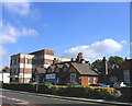
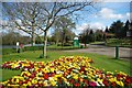
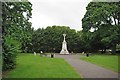
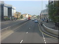
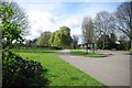
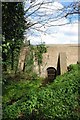
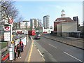
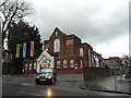
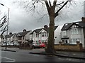
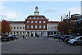
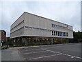
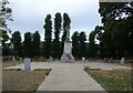
56 photos from this area
Area Information
Key information about the RM1 4JB including its size, population, and administrative classification.
- Area Type
- Postcode
- Area Size
- 1.5 hectares
- Population
- 1478
- Population Density
- 6218 people/km²
House Prices in RM1 4JB
48
Properties
£338,403
Average Sold Price
£73,500
Lowest Price
£640,000
Highest Price
Showing 48 properties
| Address | Type | Beds | Baths | Last Sale Price | Last Sale Date | |
|---|---|---|---|---|---|---|
| 119 Dorset Avenue, Romford, RM1 4JB | Terraced | 3 | 1 | £510,000 | Nov 2024 | |
| 92 Dorset Avenue, Romford, RM1 4JB | Semi-detached | 4 | 3 | £590,000 | Sep 2024 | |
| 94 Dorset Avenue, Romford, RM1 4JB | Semi-detached | 3 | 1 | £550,000 | May 2024 | |
| 93 Dorset Avenue, Romford, RM1 4JB | Terraced | 3 | 1 | £340,000 | Feb 2024 | |
| 95 Dorset Avenue, Romford, RM1 4JB | Terraced | 3 | 1 | £435,000 | Nov 2023 | |
| 104 Dorset Avenue, Romford, RM1 4JB | Semi-detached | - | - | £525,000 | Sep 2023 | |
| 112 Dorset Avenue, Romford, RM1 4JB | Semi-detached | 3 | 2 | £580,000 | Aug 2023 | |
| 87 Dorset Avenue, Romford, RM1 4JB | house | - | - | £485,000 | Jan 2023 | |
| 82 Dorset Avenue, Romford, RM1 4JB | house | - | - | £535,000 | Mar 2021 | |
| 72 Dorset Avenue, Romford, RM1 4JB | Semi-detached | 4 | 2 | £640,000 | Mar 2021 |
Page 1 of 5
Energy Efficiency in RM1 4JB
Amenities
Schools
| Rank | School | Type | Entry gender | Ages |
|---|
Explore more schools in this area
Go to Schools tabDemographics
Household Size
Family (3-5 people)
most common
Accommodation Type
Houses
most common
Tenure
81
majority
Ethnic Group
White
most common
Religion
N/A
most common
Household Composition
N/A
most common
Age
47
median
Adults (30-64 years)
most common
Household Deprivation
N/A
with no deprivation
NS-SEC
37
in Lower managerial occupations
Explore more demographic insights in this area
Go to Demographics tabPlanning
Planning Constraints
- Flood RiskPremium
- Ramsar Wetland SitesPremium
- Area of Outstanding Natural BeautyPremium
- Protected Nature ReservePremium
- Protected WoodlandPremium