Area Overview for RM1 3QS
Photos of RM1 3QS
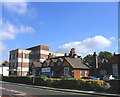
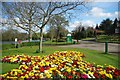
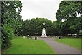
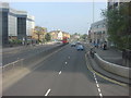
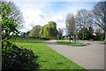
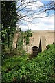
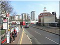
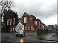
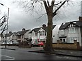
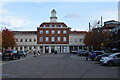
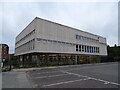
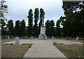
56 photos from this area
Area Information
Key information about the RM1 3QS including its size, population, and administrative classification.
- Area Type
- Postcode
- Area Size
- 9477 m²
- Population
- 1767
- Population Density
- 7814 people/km²
House Prices in RM1 3QS
83
Properties
£419,000
Average Sold Price
£130,000
Lowest Price
£850,000
Highest Price
Showing 83 properties
| Address | Type | Beds | Baths | Last Sale Price | Last Sale Date | |
|---|---|---|---|---|---|---|
| 15 Junction Road, Romford, RM1 3QS | Detached | 6 | 3 | £850,000 | Nov 2022 | |
| 17 Junction Road, Romford, RM1 3QS | Detached | - | - | £445,000 | Feb 2008 | |
| 29 Junction Road, Romford, RM1 3QS | Unknown | - | - | £435,000 | Jan 2004 | |
| 2 Junction Road, Romford, RM1 3QS | Flat | - | - | £235,000 | Nov 2000 | |
| 5 Junction Road, Romford, RM1 3QS | Retail | 3 | 3 | £130,000 | Jan 1997 | |
| 9A Junction Road, Romford, RM1 3QS | Flat | 3 | 2 | - | - | |
| 6 Junction Road, Romford, RM1 3QS | Flat | 2 | - | - | - | |
| Dominion House, 7 Junction Road, Romford, RM1 3QS | Flat | 1 | 1 | - | - | |
| 27 Junction Road, Romford, RM1 3QS | Unknown | - | - | - | - | |
| 11 Junction Road, Romford, RM1 3QS | Unknown | - | - | - | - |
Page 1 of 9
Energy Efficiency in RM1 3QS
Amenities
Schools
| Rank | School | Type | Entry gender | Ages |
|---|
Explore more schools in this area
Go to Schools tabDemographics
Household Size
One person
most common
Accommodation Type
Flats
most common
Tenure
53
majority
Ethnic Group
White
most common
Religion
N/A
most common
Household Composition
N/A
most common
Age
47
median
Adults (30-64 years)
most common
Household Deprivation
N/A
with no deprivation
NS-SEC
39
in Lower managerial occupations
Explore more demographic insights in this area
Go to Demographics tabPlanning
Planning Constraints
- Flood RiskPremium
- Ramsar Wetland SitesPremium
- Area of Outstanding Natural BeautyPremium
- Protected Nature ReservePremium
- Protected WoodlandPremium