Area Overview for RM1 2PJ
Photos of RM1 2PJ
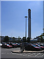
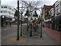
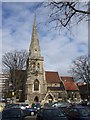
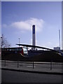
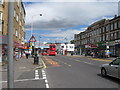
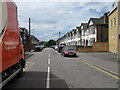
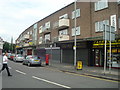
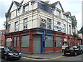
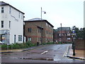
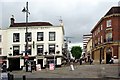
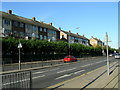
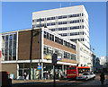
100 photos from this area
Area Information
Key information about the RM1 2PJ including its size, population, and administrative classification.
- Area Type
- Postcode
- Area Size
- 7858 m²
- Population
- 2109
- Population Density
- 9283 people/km²
House Prices in RM1 2PJ
36
Properties
£263,961
Average Sold Price
£72,000
Lowest Price
£450,000
Highest Price
Showing 36 properties
| Address | Type | Beds | Baths | Last Sale Price | Last Sale Date | |
|---|---|---|---|---|---|---|
| 2 Albert Road, Romford, RM1 2PJ | Terraced | 2 | 1 | £331,000 | Dec 2021 | |
| 28 Albert Road, Romford, RM1 2PJ | Maisonette | - | - | £450,000 | Nov 2021 | |
| 24 Albert Road, Romford, RM1 2PJ | Flat | 1 | 1 | £440,000 | Jun 2020 | |
| 22 Albert Road, Romford, RM1 2PJ | Terraced | 2 | 1 | £325,000 | Aug 2018 | |
| 32 Albert Road, Romford, RM1 2PJ | Bungalow | - | - | £365,000 | Sep 2016 | |
| 8 Albert Road, Romford, RM1 2PJ | Terraced | 3 | 1 | £335,000 | Sep 2016 | |
| 20 Albert Road, Romford, RM1 2PJ | Terraced | 3 | - | £245,000 | Jul 2014 | |
| 46 Albert Road, Romford, RM1 2PJ | house | 2 | - | £164,000 | Jul 2012 | |
| 6 Albert Road, Romford, RM1 2PJ | house | - | - | £214,995 | Jan 2008 | |
| 38 Albert Road, Romford, RM1 2PJ | house | 2 | 1 | £214,000 | Nov 2006 |
Page 1 of 4
Energy Efficiency in RM1 2PJ
Amenities
Schools
| Rank | School | Type | Entry gender | Ages |
|---|
Explore more schools in this area
Go to Schools tabDemographics
Household Size
Family (3-5 people)
most common
Accommodation Type
Houses
most common
Tenure
52
majority
Ethnic Group
White
most common
Religion
N/A
most common
Household Composition
N/A
most common
Age
47
median
Adults (30-64 years)
most common
Household Deprivation
N/A
with no deprivation
NS-SEC
34
in Lower managerial occupations
Explore more demographic insights in this area
Go to Demographics tabPlanning
Planning Constraints
- Flood RiskPremium
- Ramsar Wetland SitesPremium
- Area of Outstanding Natural BeautyPremium
- Protected Nature ReservePremium
- Protected WoodlandPremium