Area Overview for RM1 2EB
Photos of RM1 2EB
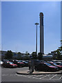
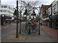
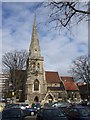
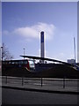
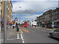
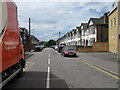
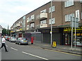
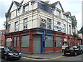
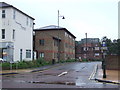
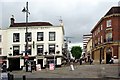
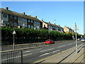
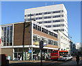
100 photos from this area
Area Information
Key information about the RM1 2EB including its size, population, and administrative classification.
- Area Type
- Postcode
- Area Size
- 8321 m²
- Population
- 2109
- Population Density
- 9283 people/km²
House Prices in RM1 2EB
52
Properties
£254,874
Average Sold Price
£104,000
Lowest Price
£527,500
Highest Price
Showing 52 properties
| Address | Type | Beds | Baths | Last Sale Price | Last Sale Date | |
|---|---|---|---|---|---|---|
| 102 George Street, Romford, RM1 2EB | Terraced | 2 | 1 | £375,000 | Jan 2025 | |
| 111 George Street, Romford, RM1 2EB | Terraced | 4 | 2 | £507,000 | Nov 2024 | |
| 128 George Street, Romford, RM1 2EB | house | - | - | £420,000 | May 2024 | |
| 9, St Georges Court, George Street, Romford, RM1 2EB | Flat | - | - | £231,000 | Feb 2024 | |
| 126 George Street, Romford, RM1 2EB | Terraced | 4 | 2 | £527,500 | Jul 2023 | |
| 95 George Street, Romford, RM1 2EB | Semi-detached | 3 | 1 | £383,000 | May 2023 | |
| 122 George Street, Romford, RM1 2EB | house | 4 | 1 | £499,000 | Nov 2022 | |
| 4, St Georges Court, George Street, Romford, RM1 2EB | Flat | - | - | £225,000 | Apr 2022 | |
| 15, St Georges Court, George Street, Romford, RM1 2EB | Flat | 1 | 1 | £223,000 | Mar 2022 | |
| 106 George Street, Romford, RM1 2EB | Terraced | 3 | 1 | £395,000 | Dec 2021 |
Page 1 of 6
Energy Efficiency in RM1 2EB
Amenities
Schools
| Rank | School | Type | Entry gender | Ages |
|---|
Explore more schools in this area
Go to Schools tabDemographics
Household Size
Family (3-5 people)
most common
Accommodation Type
Houses
most common
Tenure
52
majority
Ethnic Group
White
most common
Religion
N/A
most common
Household Composition
N/A
most common
Age
47
median
Adults (30-64 years)
most common
Household Deprivation
N/A
with no deprivation
NS-SEC
34
in Lower managerial occupations
Explore more demographic insights in this area
Go to Demographics tabPlanning
Planning Constraints
- Flood RiskPremium
- Ramsar Wetland SitesPremium
- Area of Outstanding Natural BeautyPremium
- Protected Nature ReservePremium
- Protected WoodlandPremium