Area Overview for Rayners Lane Ward
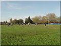
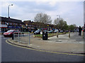
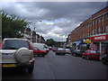
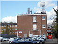
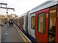
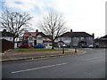
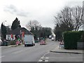
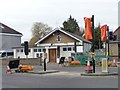
Photos of Rayners Lane Ward
Area Information
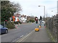
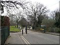
Living in Rayners Lane Ward offers a sparse, settled experience within the Hillingdon district of west England. This specific ward occupies a very small footprint of just 1.1 km², meaning the local community is tightly packed in physical terms despite the modest number of households. You will find a neighbourhood defined by numerous older residents, creating a quiet domestic atmosphere rather than the bustle associated with larger cities. The area's small size ensures that daily life feels intimate, with residents likely to know one another within walking distance of their homes. This compact residential zone serves as a stable part of the broader Rayners Lane locale, ideal for those seeking a low-impact living environment. The ward functions as a quiet corner where the pace of life slows down, away from the volume of traffic found further afield. For you, a prospective homebuyer, this translates to a setting where the house dominates the view rather than high-rises or industrial estates. The distinction of this area lies in its exclusivity as a small administrative unit that manages to contain a significant portion of its neighbourhoods' housing stock. Every day you spend here will be characterised by this concentrated layout and the established nature of the streets. The ward represents a very specific slice of life in the London Borough of Hillingdon, offering a blend of suburban comfort and administrative simplicity. You are buying into a defined district that stands apart from larger urban sprawls. The 1.1 km² boundary means that amenities are close at hand, but the true draw is the exclusivity of the location itself. This is a place where the focus is entirely on the residential experience within a clearly demarcated and limited space.
- Area Type
- District Borough Unitary Ward
- Area Size
- 1.1 km²
- Population
- Not available
- Population Density
- Not available
Demographics
The community in Rayners Lane Ward is distinctly elderly, reflecting a settled population with long-term roots in the London Borough of Hillingdon. The median age here is 70, which means roughly half of all residents are over that age threshold. You are looking at an area where the typical household composition mirrors this older demographic, with families being less common than single households or couples. This age profile shapes the local culture, favouring quiet streets and mature gardens over the energy found in youth-dominated zones. Home ownership dominates the landscape, with 67% of residents owning their property outright or under a mortgage compared to tenants. This high ownership rate creates a stable investment environment where homeowners have a direct stake in the ward's upkeep. The area lacks significant data on household composition breakdowns beyond the total, yet the high ownership percentage strongly suggests a resident base that values permanence over mobility. You will find that neighbours are likely to have lived in their homes for decades, forming tight-knit social circles. The ward does not provide specific data on ethnic diversity or religious affiliation in the detailed breakdowns available. However, the context of an older, owner-occupied population in west London suggests a traditional demographic makeup. The absence of younger families lessens the strain on local facilities and may mean fewer cafes focused on youth culture. For you, this implies a lifestyle that prioritises convenience, quiet recreation, and neighbourly familiarity. The demographic reality involves a population well past retirement age, which influences everything from local business types to school zoning, even if specific school data is not listed in the current records.
Household Size
Accommodation Type
Tenure
Ethnic Group
Religion
Household Composition
Age
Household Deprivation
NS-SEC
Explore more demographic insights in this area
Go to Demographics tabPlanning
Planning Constraints
- Flood RiskPremium
- Ramsar Wetland SitesPremium
- Area of Outstanding Natural BeautyPremium
- Protected Nature ReservePremium
- Protected WoodlandPremium