Area Overview for Plaistow North Ward
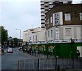
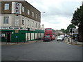
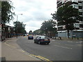
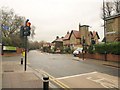
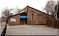
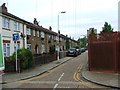
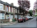
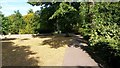
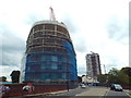
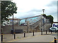
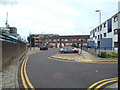
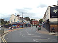
Photos of Plaistow North Ward
Area Information
Plaistow North Ward forms a distinct electoral district within the London Borough of Newham, situated in the suburban eastern sector of London. This ward covers approximately 99.1 hectares and currently supports a population of 1,894 residents according to the most recent administrative boundaries. Historically, the wider Plaistow area was part of the parish of West Ham in Essex, transitioning to the new borough in 1965. The ward operates within the E13 postcode district, linking into the broader transport network that serves Canning Town, Stratford, and London City Airport via local arterial roads. Living in Plaistow North Ward offers residents access to the A112, which connects the neighbourhood to key commercial and airport hubs, while the A124 provides routes toward Canning Town and East Ham. The physical compactness of the area, measuring just over one square kilometre, creates a defined local community. You will find the ward centre around coordinates 51.532°N, 0.027°E, placing it firmly within the suburban landscape of East London. This specific geographic footprint means daily commutes flow efficiently through the established road infrastructure. The area represents a snapshot of post-war suburban evolution, balancing residential density with sufficient green space for local recreation. When you consider homes in this ward, you are entering a space where local governance meets established suburban patterns, offering a practical slice of Newham's broader residential offering.
- Area Type
- District Borough Unitary Ward
- Area Size
- 99.1 hectares
- Population
- 1894
- Population Density
- 1912 people/km²
Demographics
The community living in Plaistow North Ward displays a clear demographic profile, with a median age of 70 years. This figure indicates a population skewed significantly toward older adults compared to the national average. The most common age range listed in the official records is simply categorised as 'Age: Total', which implies that the average age data points strongly toward the senior end of the spectrum rather than young families or students. With a total population of 1,894, the area feels intimate, allowing elderly and established residents to maintain strong local connections. Home ownership stands at 32% within the ward, suggesting a majority of the housing stock is either rented or occupied through other tenure types. Residential patterns reflect the age demographic, with fewer young households likely securing property compared to areas with younger populations. The ward covers 99.1 hectares, meaning every resident has access to a defined residential footprint. You are more likely to encounter a retirement community than a young professional cluster when you move to this location. The low percentage of owner-occupied homes contrasts with the high median age, often seen in zones where income levels dictate tenure choices for older demographics. Residents here navigate a neighbourhood designed for long-term living rather than rapid turnover. This profile paints a picture of stability, where the social fabric is built around older generations rather than transient young families or frequent movers.
Household Size
Accommodation Type
Tenure
Ethnic Group
Religion
Household Composition
Age
Household Deprivation
NS-SEC
Explore more demographic insights in this area
Go to Demographics tabPlanning
Planning Constraints
- Flood RiskPremium
- Ramsar Wetland SitesPremium
- Area of Outstanding Natural BeautyPremium
- Protected Nature ReservePremium
- Protected WoodlandPremium
- Crime RiskPremium