Area Overview for Peckham Ward
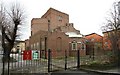
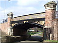
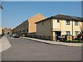
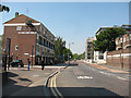
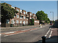
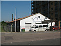
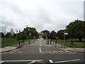
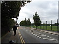
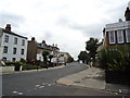
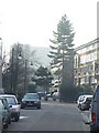
Photos of Peckham Ward


Area Information
Peckham Ward occupies a specific space within South London, covering an area of 85.5 hectares. This locality functions as a defined district where residential life unfolds on a human scale. You find yourself in a neighbourhood where the physical boundaries are clear and the community structure is established. The ward represents a distinct choice for those seeking a tenure within the larger borough. Daily life here is shaped by the knowledge that you are living in an area with defined limits and a consistent identity. Prospective homebuyers approach this location with an understanding of its compact nature. You know exactly how much land defines your wider environment before you move in. The size of the ward influences the pace of life and the density of local interactions. It is a place where residents move through a relatively contained zone. This characteristic makes planning your commute and accessing local amenities a straightforward exercise. You do not need to navigate vast distances to reach the core of the community. The ward offers a contained setting for those who prefer a defined lifestyle.
- Area Type
- District Borough Unitary Ward
- Area Size
- 85.5 hectares
- Population
- Not available
- Population Density
- Not available
Demographics
The community profile within Peckham Ward reveals a population heavily weighted towards older residents. The median age stands at exactly 70 years old. This statistic indicates that you are likely to live amongst a community where many neighbours have retired or are entering retirement years. The most common age range listed as "Age: Total" confirms that the data captures the full spectrum of the population structure. Home ownership presents a significant challenge in this specific locality. Only 21% of households own their property outright. This figure suggests that the vast majority of residents operate under tenancy agreements. You should anticipate a market dominated by rentals rather than owner-occupied homes if you scout this area. The household composition data marked as "total" implies that a broad range of living arrangements exist within the ward. There is no single dominant family unit type defined by the available figures. This demographic landscape creates a reliance on rental markets and services tailored to an older, predominantly tenant population. You must consider how this age profile affects local shops and medical facilities when evaluating the area. The low ownership rate fundamentally shapes the economic dynamics of the neighbourhood.
Household Size
Accommodation Type
Tenure
Ethnic Group
Religion
Household Composition
Age
Household Deprivation
NS-SEC
Explore more demographic insights in this area
Go to Demographics tabPlanning
Planning Constraints
- Flood RiskPremium
- Ramsar Wetland SitesPremium
- Area of Outstanding Natural BeautyPremium
- Protected Nature ReservePremium
- Protected WoodlandPremium
- Crime RiskPremium