Area Overview for Old Kent Road Ward
Photos of Old Kent Road Ward
Area Information
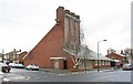
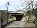
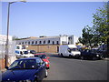
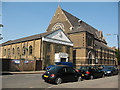
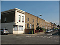
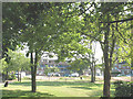
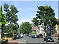
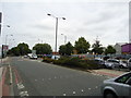
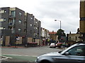
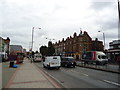
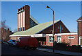
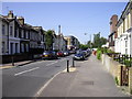
Old Kent Road Ward represents a specific slice of urban life within Southwark, covering an area of 1.7 square kilometres. The population totals 2,259 residents, creating a community where every household feels part of a small neighbourhood. This ward sits on a historic artery that has served as a link between London and the Kent coast since Roman times. The urban density means daily life revolves around high streets and紧密 commercial activity rather than suburban sprawl. You will find yourself walking through an area defined by its working-class roots and industrial legacy. The character of the street is marked by multicultural shops and markets that reflect the diverse communities living here. While the site coordinates place you in the central section of the road, the ward lacks the distinction of a separate council unitary status, functioning instead as a key part of the broader Southwark landscape. Living in Old Kent Road Ward means accepting a compact, bustling environment where the past and present intersect closely.
- Area Type
- District Borough Unitary Ward
- Area Size
- 1.7 km²
- Population
- 2259
- Population Density
- 1361 people/km²
Demographics
The community profile reveals a distinctly older demographic. The median age stands at 70 years, indicating a significant retired population compared to the national average. You are more likely to encounter seniors enjoying the high street than young families moving in for the first time. Home ownership remains low, with only 18% of residents owning their property outright. The remaining 82% reside in rented accommodation, suggesting the ward functions primarily as a rental market. Household composition data confirms the total coverage without specifying detailed breakdowns of single-person or family units. Despite the high median age, the area maintains a multicultural atmosphere shaped by working-class history and diverse communities including notable Nigerian Muslim presence. Education and religion statistics are not detailed in the current records, so you cannot assess the presence of specific schools or places of worship within this precise boundary. The population density reaches 1,361 people per square kilometre, confirming a tightly packed urban environment.
Household Size
Accommodation Type
Tenure
Ethnic Group
Religion
Household Composition
Age
Household Deprivation
NS-SEC
Explore more demographic insights in this area
Go to Demographics tabPlanning
Planning Constraints
- Flood RiskPremium
- Ramsar Wetland SitesPremium
- Area of Outstanding Natural BeautyPremium
- Protected Nature ReservePremium
- Protected WoodlandPremium
- Crime RiskPremium