Area Overview for NW9 0PR
Photos of NW9 0PR
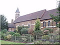
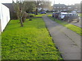
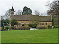
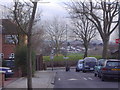
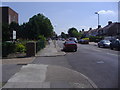
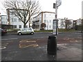
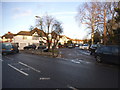
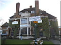
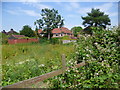
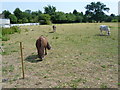
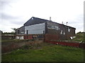
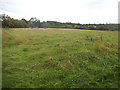
100 photos from this area
Area Information
Key information about the NW9 0PR including its size, population, and administrative classification.
- Area Type
- Postcode
- Area Size
- 1.0 hectares
- Population
- 1677
- Population Density
- 6910 people/km²
House Prices in NW9 0PR
33
Properties
£359,493
Average Sold Price
£118,950
Lowest Price
£605,000
Highest Price
Showing 33 properties
| Address | Type | Beds | Baths | Last Sale Price | Last Sale Date | |
|---|---|---|---|---|---|---|
| 47 Fairfields Crescent, London, NW9 0PR | Semi-detached | 3 | 1 | £597,000 | Jun 2023 | |
| 43 Fairfields Crescent, London, NW9 0PR | house | 3 | 1 | £520,000 | Sep 2021 | |
| 35 Fairfields Crescent, London, NW9 0PR | Semi-detached | 5 | 3 | £605,000 | Feb 2021 | |
| 33 Fairfields Crescent, London, NW9 0PR | Semi-detached | 4 | 2 | £540,000 | Mar 2020 | |
| 55 Fairfields Crescent, London, NW9 0PR | Semi-detached | 5 | 2 | £405,000 | Sep 2015 | |
| 63 Fairfields Crescent, London, NW9 0PR | Semi-detached | 4 | 2 | £375,000 | May 2013 | |
| 27 Fairfields Crescent, London, NW9 0PR | Terraced | 4 | - | £295,000 | Nov 2009 | |
| 9 Fairfields Crescent, London, NW9 0PR | Terraced | 3 | 1 | £316,000 | Apr 2009 | |
| 57 Fairfields Crescent, London, NW9 0PR | Semi-detached | - | - | £317,000 | Jun 2006 | |
| 21 Fairfields Crescent, London, NW9 0PR | Terraced | - | - | £260,000 | Dec 2004 |
Page 1 of 4
Energy Efficiency in NW9 0PR
Amenities
Schools
| Rank | School | Type | Entry gender | Ages |
|---|
Explore more schools in this area
Go to Schools tabDemographics
Household Size
Family (3-5 people)
most common
Accommodation Type
Flats
most common
Tenure
48
majority
Ethnic Group
White
most common
Religion
N/A
most common
Household Composition
N/A
most common
Age
47
median
Adults (30-64 years)
most common
Household Deprivation
N/A
with no deprivation
NS-SEC
27
in Lower managerial occupations
Explore more demographic insights in this area
Go to Demographics tabPlanning
Planning Constraints
- Flood RiskPremium
- Ramsar Wetland SitesPremium
- Area of Outstanding Natural BeautyPremium
- Protected Nature ReservePremium
- Protected WoodlandPremium