Area Overview for NW6 7AR
Photos of NW6 7AR
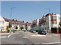
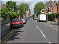
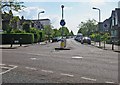
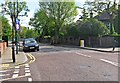
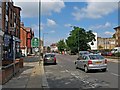
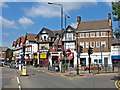
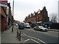
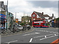


100 photos from this area
Area Information
Key information about the NW6 7AR including its size, population, and administrative classification.
- Area Type
- Postcode
- Area Size
- 1.9 hectares
- Population
- 1728
- Population Density
- 5409 people/km²
House Prices in NW6 7AR
10
Properties
£1,523,333
Average Sold Price
£800,000
Lowest Price
£2,470,000
Highest Price
Showing 10 properties
| Address | Type | Beds | Baths | Last Sale Price | Last Sale Date | |
|---|---|---|---|---|---|---|
| 53 Milverton Road, London, NW6 7AR | Semi-detached | 6 | 3 | £2,470,000 | Mar 2025 | |
| 47 Milverton Road, London, NW6 7AR | house | 4 | - | £1,300,000 | May 2010 | |
| 45 Milverton Road, London, NW6 7AR | Semi-detached | - | - | £800,000 | Jan 1999 | |
| 51 Milverton Road, London, NW6 7AR | Detached | 5 | 3 | - | - | |
| Tennis 63M From 46 Brondesbury Park 48M From Milverton Road, Milverton Road, London, NW6 7AR | Leisure | - | - | - | - | |
| 49 Milverton Road, London, NW6 7AR | Semi-detached | - | - | - | - | |
| South Hampstead Cricket Club Pavilion, Milverton Road, London, NW6 7AR | Leisure | - | - | - | - | |
| Happy Hands Montessori Nursery, South Hampstead Cricket Club Pavilion, Milverton Road, London, NW6 7AR | commercial | - | - | - | - | |
| South Hampstead Tennis Club, Milverton Road, London, NW6 7AR | Leisure | - | - | - | - | |
| 3 Milverton Road, London, NW6 7AR | Flat | - | - | - | - |
Energy Efficiency in NW6 7AR
Amenities
Schools
| Rank | School | Type | Entry gender | Ages |
|---|
Explore more schools in this area
Go to Schools tabDemographics
Household Size
One person
most common
Accommodation Type
Flats
most common
Tenure
48
majority
Ethnic Group
White
most common
Religion
N/A
most common
Household Composition
N/A
most common
Age
47
median
Adults (30-64 years)
most common
Household Deprivation
N/A
with no deprivation
NS-SEC
37
in Lower managerial occupations
Explore more demographic insights in this area
Go to Demographics tabPlanning
Planning Constraints
- Flood RiskPremium
- Ramsar Wetland SitesPremium
- Area of Outstanding Natural BeautyPremium
- Protected Nature ReservePremium
- Protected WoodlandPremium