Area Overview for NW6 6SH
Photos of NW6 6SH
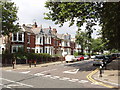
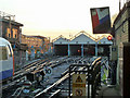
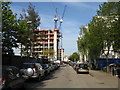
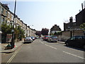
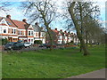

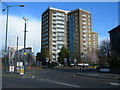
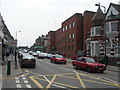
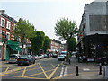
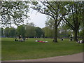
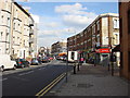
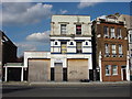
100 photos from this area
Area Information
Key information about the NW6 6SH including its size, population, and administrative classification.
- Area Type
- Postcode
- Area Size
- 7456 m²
- Population
- 1851
- Population Density
- 9566 people/km²
House Prices in NW6 6SH
34
Properties
£1,835,832
Average Sold Price
£175,000
Lowest Price
£3,575,000
Highest Price
Showing 34 properties
| Address | Type | Beds | Baths | Last Sale Price | Last Sale Date | |
|---|---|---|---|---|---|---|
| 38 Harvist Road, London, NW6 6SH | Terraced | 5 | 5 | £2,700,000 | Dec 2024 | |
| 68 Harvist Road, London, NW6 6SH | Maisonette | 2 | 1 | £2,100,000 | Nov 2024 | |
| 60 Harvist Road, London, NW6 6SH | Terraced | 3 | 2 | £2,800,000 | Oct 2023 | |
| 66 Harvist Road, London, NW6 6SH | Terraced | 4 | 2 | £1,630,000 | Oct 2023 | |
| 26 Harvist Road, London, NW6 6SH | Terraced | 4 | 3 | £2,250,000 | Oct 2023 | |
| 42 Harvist Road, London, NW6 6SH | Terraced | 2 | 1 | £3,575,000 | Feb 2023 | |
| 34 Harvist Road, London, NW6 6SH | Semi-detached | 4 | 3 | £2,200,000 | Nov 2020 | |
| 40 Harvist Road, London, NW6 6SH | house | 4 | 3 | £3,115,000 | Dec 2017 | |
| 58 Harvist Road, London, NW6 6SH | house | - | - | £2,200,000 | Dec 2015 | |
| 64 Harvist Road, London, NW6 6SH | Terraced | 4 | - | £888,000 | Sep 2010 |
Page 1 of 4
Energy Efficiency in NW6 6SH
Amenities
Schools
| Rank | School | Type | Entry gender | Ages |
|---|
Explore more schools in this area
Go to Schools tabDemographics
Household Size
Family (3-5 people)
most common
Accommodation Type
Houses
most common
Tenure
57
majority
Ethnic Group
White
most common
Religion
N/A
most common
Household Composition
N/A
most common
Age
47
median
Adults (30-64 years)
most common
Household Deprivation
N/A
with no deprivation
NS-SEC
54
in Lower managerial occupations
Explore more demographic insights in this area
Go to Demographics tabPlanning
Planning Constraints
- Flood RiskPremium
- Ramsar Wetland SitesPremium
- Area of Outstanding Natural BeautyPremium
- Protected Nature ReservePremium
- Protected WoodlandPremium