Area Overview for NW6 6EA
Photos of NW6 6EA
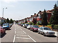
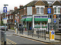
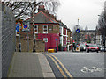
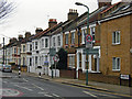
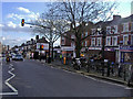
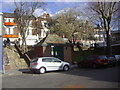
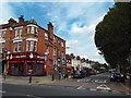
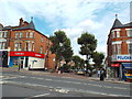
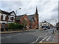
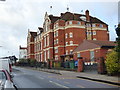
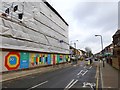
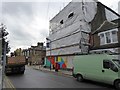
100 photos from this area
Area Information
Key information about the NW6 6EA including its size, population, and administrative classification.
- Area Type
- Postcode
- Area Size
- 2669 m²
- Population
- 1851
- Population Density
- 9566 people/km²
House Prices in NW6 6EA
14
Properties
£1,262,467
Average Sold Price
£337,300
Lowest Price
£2,500,000
Highest Price
Showing 14 properties
| Address | Type | Beds | Baths | Last Sale Price | Last Sale Date | |
|---|---|---|---|---|---|---|
| 82 Chevening Road, London, NW6 6EA | Detached | 6 | 1 | £2,080,000 | Apr 2024 | |
| 84 Chevening Road, London, NW6 6EA | Terraced | 5 | 2 | £2,500,000 | Feb 2022 | |
| Former, 76 Chevening Road, London, NW6 6EA | Detached | - | - | £1,057,500 | May 2021 | |
| 88 Chevening Road, London, NW6 6EA | Semi-detached | - | - | £1,075,000 | Jul 2008 | |
| 90 Chevening Road, London, NW6 6EA | Terraced | 4 | 2 | £337,300 | Jul 2004 | |
| 80 Chevening Road, London, NW6 6EA | Semi-detached | - | - | £525,000 | Sep 2000 | |
| 86B Chevening Road, London, NW6 6EA | Flat | 3 | 1 | - | - | |
| Former, 76A Chevening Road, London, NW6 6EA | Semi-detached | 3 | 2 | - | - | |
| 86A Chevening Road, London, NW6 6EA | Flat | - | - | - | - | |
| Former, 78A Chevening Road, London, NW6 6EA | Flat | - | - | - | - |
Page 1 of 2
Energy Efficiency in NW6 6EA
Amenities
Schools
| Rank | School | Type | Entry gender | Ages |
|---|
Explore more schools in this area
Go to Schools tabDemographics
Household Size
Family (3-5 people)
most common
Accommodation Type
Houses
most common
Tenure
57
majority
Ethnic Group
White
most common
Religion
N/A
most common
Household Composition
N/A
most common
Age
47
median
Adults (30-64 years)
most common
Household Deprivation
N/A
with no deprivation
NS-SEC
54
in Lower managerial occupations
Explore more demographic insights in this area
Go to Demographics tabPlanning
Planning Constraints
- Flood RiskPremium
- Ramsar Wetland SitesPremium
- Area of Outstanding Natural BeautyPremium
- Protected Nature ReservePremium
- Protected WoodlandPremium