Area Overview for NW6 2BH
Photos of NW6 2BH
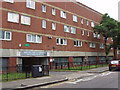
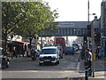
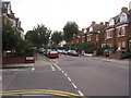
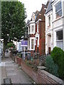
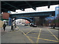
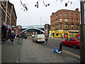
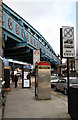
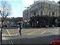
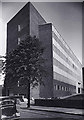
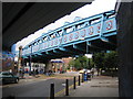
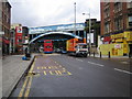
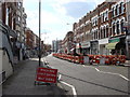
100 photos from this area
Area Information
Key information about the NW6 2BH including its size, population, and administrative classification.
- Area Type
- Postcode
- Area Size
- Not available
- Population
- 1924
- Population Density
- 16473 people/km²
House Prices in NW6 2BH
24
Properties
-
Average Sold Price
-
Lowest Price
-
Highest Price
Showing 24 properties
Page 1 of 3
Energy Efficiency in NW6 2BH
Amenities
Schools
| Rank | School | Type | Entry gender | Ages |
|---|
Explore more schools in this area
Go to Schools tabDemographics
Household Size
One person
most common
Accommodation Type
Flats
most common
Tenure
23
majority
Ethnic Group
White
most common
Religion
N/A
most common
Household Composition
N/A
most common
Age
47
median
Adults (30-64 years)
most common
Household Deprivation
N/A
with no deprivation
NS-SEC
43
in Lower managerial occupations
Explore more demographic insights in this area
Go to Demographics tabPlanning
Planning Constraints
- Flood RiskPremium
- Ramsar Wetland SitesPremium
- Area of Outstanding Natural BeautyPremium
- Protected Nature ReservePremium
- Protected WoodlandPremium