Area Overview for NW6 1XU
Photos of NW6 1XU
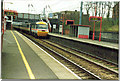
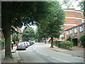
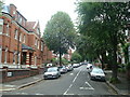
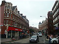
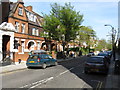
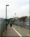
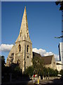
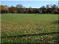
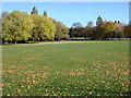
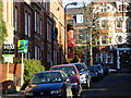
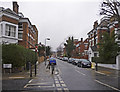
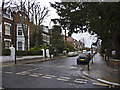
100 photos from this area
Area Information
Key information about the NW6 1XU including its size, population, and administrative classification.
- Area Type
- Postcode
- Area Size
- 3587 m²
- Population
- 1959
- Population Density
- 13983 people/km²
House Prices in NW6 1XU
49
Properties
£326,123
Average Sold Price
£66,500
Lowest Price
£650,000
Highest Price
Showing 49 properties
| Address | Type | Beds | Baths | Last Sale Price | Last Sale Date | |
|---|---|---|---|---|---|---|
| 33 Worcester Mews, London, NW6 1XU | Maisonette | 1 | 3 | £600,000 | Oct 2023 | |
| 38 Worcester Mews, London, NW6 1XU | Flat | - | - | £385,000 | Nov 2021 | |
| 20 Worcester Mews, London, NW6 1XU | Flat | 2 | 1 | £354,000 | Aug 2020 | |
| 26 Worcester Mews, London, NW6 1XU | Terraced | 4 | 2 | £640,000 | Apr 2019 | |
| 7 Worcester Mews, London, NW6 1XU | Flat | - | - | £650,000 | Aug 2016 | |
| 9 Worcester Mews, London, NW6 1XU | Maisonette | 3 | 2 | £395,000 | Dec 2012 | |
| 3 Worcester Mews, London, NW6 1XU | Maisonette | 3 | 3 | £389,950 | Nov 2007 | |
| 39 Worcester Mews, London, NW6 1XU | Flat | - | - | £279,950 | Jun 2006 | |
| 40 Worcester Mews, London, NW6 1XU | Flat | - | - | £216,000 | May 2005 | |
| 13 Worcester Mews, London, NW6 1XU | Flat | 1 | 1 | £185,000 | Mar 2005 |
Page 1 of 5
Energy Efficiency in NW6 1XU
Amenities
Schools
| Rank | School | Type | Entry gender | Ages |
|---|
Explore more schools in this area
Go to Schools tabDemographics
Household Size
One person
most common
Accommodation Type
Flats
most common
Tenure
13
majority
Ethnic Group
White
most common
Religion
N/A
most common
Household Composition
N/A
most common
Age
47
median
Adults (30-64 years)
most common
Household Deprivation
N/A
with no deprivation
NS-SEC
38
in Lower managerial occupations
Explore more demographic insights in this area
Go to Demographics tabPlanning
Planning Constraints
- Flood RiskPremium
- Ramsar Wetland SitesPremium
- Area of Outstanding Natural BeautyPremium
- Protected Nature ReservePremium
- Protected WoodlandPremium