Area Overview for NW5 1RY
Photos of NW5 1RY

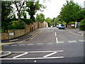
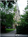
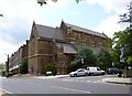
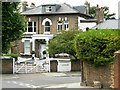
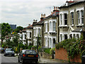
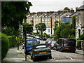
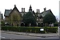
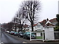
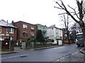
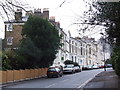
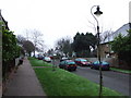
100 photos from this area
Area Information
Key information about the NW5 1RY including its size, population, and administrative classification.
- Area Type
- Postcode
- Area Size
- 3855 m²
- Population
- 1340
- Population Density
- 10292 people/km²
House Prices in NW5 1RY
25
Properties
£1,339,875
Average Sold Price
£380,000
Lowest Price
£2,350,000
Highest Price
Showing 25 properties
| Address | Type | Beds | Baths | Last Sale Price | Last Sale Date | |
|---|---|---|---|---|---|---|
| 20 Woodsome Road, London, NW5 1RY | Terraced | 5 | 3 | £2,350,000 | Dec 2024 | |
| 14 Woodsome Road, London, NW5 1RY | Terraced | 4 | 2 | £2,200,000 | May 2023 | |
| 32 Woodsome Road, London, NW5 1RY | Retail | 4 | 2 | £1,950,000 | Sep 2022 | |
| 22 Woodsome Road, London, NW5 1RY | house | 4 | 3 | £1,850,000 | Mar 2014 | |
| 24 Woodsome Road, London, NW5 1RY | Terraced | 4 | - | £1,850,000 | Dec 2013 | |
| 8 Woodsome Road, London, NW5 1RY | Terraced | 5 | 3 | £1,181,000 | Jul 2011 | |
| 4 Woodsome Road, London, NW5 1RY | house | - | - | £1,040,000 | Jul 2010 | |
| 6 Woodsome Road, London, NW5 1RY | house | 4 | - | £960,000 | Jun 2010 | |
| 2A Woodsome Road, London, NW5 1RY | house | - | - | £882,500 | Jul 2009 | |
| 8A Woodsome Road, London, NW5 1RY | house | - | - | £600,000 | Jun 2003 |
Page 1 of 3
Energy Efficiency in NW5 1RY
Amenities
Schools
| Rank | School | Type | Entry gender | Ages |
|---|
Explore more schools in this area
Go to Schools tabDemographics
Household Size
Family (3-5 people)
most common
Accommodation Type
Flats
most common
Tenure
58
majority
Ethnic Group
White
most common
Religion
N/A
most common
Household Composition
N/A
most common
Age
47
median
Adults (30-64 years)
most common
Household Deprivation
N/A
with no deprivation
NS-SEC
63
in Lower managerial occupations
Explore more demographic insights in this area
Go to Demographics tabPlanning
Planning Constraints
- Flood RiskPremium
- Ramsar Wetland SitesPremium
- Area of Outstanding Natural BeautyPremium
- Protected Nature ReservePremium
- Protected WoodlandPremium