Area Overview for NW2 6XL
Photos of NW2 6XL
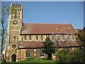
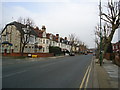
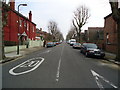
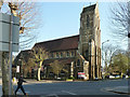
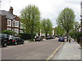
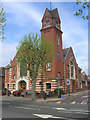
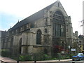
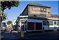
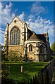
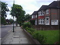
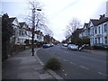
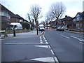
100 photos from this area
Area Information
Key information about the NW2 6XL including its size, population, and administrative classification.
- Area Type
- Postcode
- Area Size
- 6564 m²
- Population
- 1970
- Population Density
- 9091 people/km²
House Prices in NW2 6XL
50
Properties
£377,000
Average Sold Price
£85,000
Lowest Price
£910,000
Highest Price
Showing 50 properties
| Address | Type | Beds | Baths | Last Sale Price | Last Sale Date | |
|---|---|---|---|---|---|---|
| 105 Ivy Road, London, NW2 6XL | Terraced | 4 | 2 | £910,000 | Dec 2024 | |
| 119 Ivy Road, London, NW2 6XL | Flat | - | - | £560,000 | Dec 2020 | |
| 121A Ivy Road, London, NW2 6XL | Maisonette | 2 | 1 | £374,000 | Jul 2020 | |
| 69 Ivy Road, London, NW2 6XL | Terraced | 4 | 1 | £400,000 | Nov 2019 | |
| 85 Ivy Road, London, NW2 6XL | Terraced | 4 | 2 | £490,000 | May 2012 | |
| 117 Ivy Road, London, NW2 6XL | Flat | - | - | £319,000 | Jan 2012 | |
| 97 Ivy Road, London, NW2 6XL | Flat | 2 | - | £140,000 | Nov 2001 | |
| 113 Ivy Road, London, NW2 6XL | Flat | 2 | 1 | £115,000 | Jul 1999 | |
| 121 Ivy Road, London, NW2 6XL | Flat | 3 | 2 | £85,000 | Apr 1999 | |
| 73 Ivy Road, London, NW2 6XL | Terraced | 4 | 1 | - | - |
Page 1 of 5
Energy Efficiency in NW2 6XL
Amenities
Schools
| Rank | School | Type | Entry gender | Ages |
|---|
Explore more schools in this area
Go to Schools tabDemographics
Household Size
Family (3-5 people)
most common
Accommodation Type
Flats
most common
Tenure
44
majority
Ethnic Group
White
most common
Religion
N/A
most common
Household Composition
N/A
most common
Age
47
median
Adults (30-64 years)
most common
Household Deprivation
N/A
with no deprivation
NS-SEC
33
in Lower managerial occupations
Explore more demographic insights in this area
Go to Demographics tabPlanning
Planning Constraints
- Flood RiskPremium
- Ramsar Wetland SitesPremium
- Area of Outstanding Natural BeautyPremium
- Protected Nature ReservePremium
- Protected WoodlandPremium