Area Overview for NW2 6TH
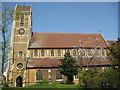
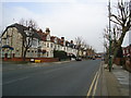
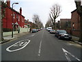
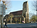
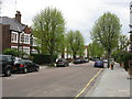
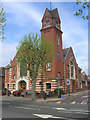
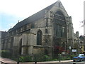
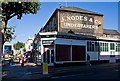
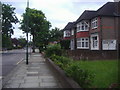
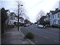
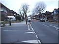
Photos of NW2 6TH

Area Information
NW2 6TH is a specific postcode covering a small residential cluster in England. This compact area houses a population of 2,040 people, creating a close-knit environment rather than a sprawling suburb. You will find that daily life here is defined by practical connectivity to the wider network. The location offers direct access to Tesco Cricklewood, Lidl Cricklewood, and Co-op Cricklewood for your shopping needs. Transport links extend beyond local streets, with stations such as Cricklewood, Brent Cross West, and Brondesbury Station all within practical reach. You can also access major metro lines at Dollis Hill, Kilburn, and Brent Cross to navigate the capital efficiently. The area includes amenities like London Zoo Waterbus Stop, Little Venice Waterbus Stop, and Camden Lock Waterbus for leisure travel. For commuters reliant on coaches, London Victoria Coach Station Arrivals, Victoria Coach Station, and Green Line Coach Station provide regular services. Living in NW2 6TH means balancing a quiet residential setting with the convenience of nearby retail hubs and extensive public transport options. The mix of rail, metro, ferry, and bus services ensures you can reach your destination without significant delays.
- Area Type
- Postcode
- Area Size
- Not available
- Population
- 2040
- Population Density
- 14346 people/km²
The property market in NW2 6TH is characterised by a distinct mix of ownership types and a specific housing style. Flats represent the predominant accommodation type available for sale or rent in this postcode. With 37% of residents owning their homes, the area stands as a mixed market rather than an exclusively owner-occupied enclave. This balance means you will find both leasehold flats for purchase and private investments aimed at long-term renters. The concentration of flats suggests limited space for terrace or detached houses within this specific cluster. You should approach property hunting here with an understanding that values may fluctuate based on lease terms and specific building conditions common to flat living. The small population size of 2,040 indicates limited inventory compared to larger suburbs. Homes in NW2 6TH cater primarily to the adult demographic between 30 and 64 years. The high proportion of renters alongside a solid owner base creates a dynamic competition for available flats. Buyers must act quickly when a suitable flat goes on the market.
House Prices in NW2 6TH
No properties found in this postcode.
Energy Efficiency in NW2 6TH
Your lifestyle in NW2 6TH centres on practical convenience provided by nearby amenities. Five retail outlets, including Tesco Cricklewood, Lidl Cricklewood, and Co-op Cricklewood, are within easy reach for your daily shopping. You can commute using five rail stations like Cricklewood or taking five metro options such as Brent Cross Station. Leisure trips to London Zoo Waterbus Stop or Camden Lock Waterbus are accessible via the five available ferry services. Five bus routes, including those linking to Green Line Coach Station, ensure you can travel where needed. This density of facilities around this small cluster means you rarely need to venture far for essential goods or travel. The presence of these major hubs creates a self-sufficient environment where work, leisure, and transport converge. Living in this postcode offers the efficiency of being close to both local shops and major transport arteries without the congestion of central city living.
Amenities
Schools
| Rank | School | Type | Entry gender | Ages |
|---|
Explore more schools in this area
Go to Schools tabDemographics
The community in NW2 6TH reflects a mature demographic profile with a median age of 47 years. The most common age range consists of adults between 30 and 64 years old. This suggests a stable population likely settled for some time. A reported 37% of residents own their homes, indicating a mixed market where a significant portion rents their accommodation. You will find that flats are the primary form of accommodation in this area. The predominant ethnic group identified as White shapes the cultural makeup of the neighbourhood. While you do not have detailed data on household income or specific deprivation indices, the age distribution points toward a family-oriented or professional demographic. The housing stock, dominated by flats, likely appeals to couples without children or empty nesters rather than those needing large family homes. This composition defines the social rhythm of the area, where neighbours know each other well given the concentrated population density.
Household Size
Accommodation Type
Tenure
Ethnic Group
Religion
Household Composition
Age
Household Deprivation
NS-SEC
Explore more demographic insights in this area
Go to Demographics tabPlanning
Planning Constraints
- Flood RiskPremium
- Ramsar Wetland SitesPremium
- Area of Outstanding Natural BeautyPremium
- Protected Nature ReservePremium
- Protected WoodlandPremium