Area Overview for NW2 5PP
Photos of NW2 5PP
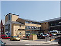
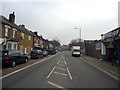
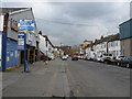
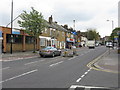
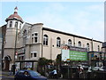
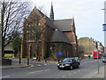
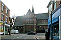
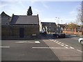
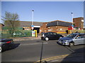
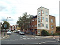
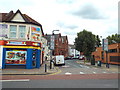
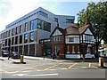
100 photos from this area
Area Information
Key information about the NW2 5PP including its size, population, and administrative classification.
- Area Type
- Postcode
- Area Size
- 8100 m²
- Population
- 1951
- Population Density
- 18098 people/km²
House Prices in NW2 5PP
48
Properties
£359,217
Average Sold Price
£120,000
Lowest Price
£650,000
Highest Price
Showing 48 properties
| Address | Type | Beds | Baths | Last Sale Price | Last Sale Date | |
|---|---|---|---|---|---|---|
| 39B Chaplin Road, London, NW2 5PP | Flat | 3 | 1 | £450,000 | Nov 2023 | |
| Former, 43 Chaplin Road, London, NW2 5PP | Flat | 2 | 2 | £375,000 | May 2023 | |
| 45 Chaplin Road, London, NW2 5PP | Detached | - | - | £650,000 | Feb 2016 | |
| 7 Chaplin Road, London, NW2 5PP | house | 3 | - | £455,000 | Feb 2012 | |
| 11 Chaplin Road, London, NW2 5PP | Semi-detached | - | - | £480,000 | May 2008 | |
| 5 Chaplin Road, London, NW2 5PP | Terraced | 2 | - | £304,000 | Sep 2003 | |
| 51 Chaplin Road, London, NW2 5PP | house | - | - | £259,950 | Nov 2001 | |
| 3 Chaplin Road, London, NW2 5PP | Flat | 2 | 1 | £139,000 | Feb 1999 | |
| 15 Chaplin Road, London, NW2 5PP | Terraced | - | - | £120,000 | Jan 1998 | |
| 47B Chaplin Road, London, NW2 5PP | Flat | 2 | 1 | - | - |
Page 1 of 5
Energy Efficiency in NW2 5PP
Amenities
Schools
| Rank | School | Type | Entry gender | Ages |
|---|
Explore more schools in this area
Go to Schools tabDemographics
Household Size
Family (3-5 people)
most common
Accommodation Type
Flats
most common
Tenure
28
majority
Ethnic Group
White
most common
Religion
N/A
most common
Household Composition
N/A
most common
Age
47
median
Adults (30-64 years)
most common
Household Deprivation
N/A
with no deprivation
NS-SEC
23
in Lower managerial occupations
Explore more demographic insights in this area
Go to Demographics tabPlanning
Planning Constraints
- Flood RiskPremium
- Ramsar Wetland SitesPremium
- Area of Outstanding Natural BeautyPremium
- Protected Nature ReservePremium
- Protected WoodlandPremium