Area Overview for NW2 5HA
Photos of NW2 5HA
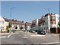
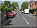
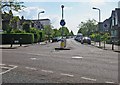
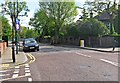
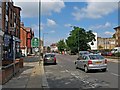
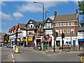
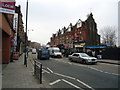
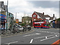
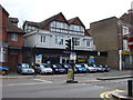


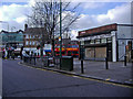
100 photos from this area
Area Information
Key information about the NW2 5HA including its size, population, and administrative classification.
- Area Type
- Postcode
- Area Size
- 1.2 hectares
- Population
- 1728
- Population Density
- 5409 people/km²
House Prices in NW2 5HA
24
Properties
£980,304
Average Sold Price
£430,000
Lowest Price
£1,795,000
Highest Price
Showing 24 properties
| Address | Type | Beds | Baths | Last Sale Price | Last Sale Date | |
|---|---|---|---|---|---|---|
| 63 Staverton Road, London, NW2 5HA | Semi-detached | 4 | 3 | £1,600,000 | Mar 2022 | |
| 57 Staverton Road, London, NW2 5HA | Semi-detached | 5 | 5 | £1,795,000 | Jan 2022 | |
| 53 Staverton Road, London, NW2 5HA | house | 4 | 1 | £1,220,000 | Feb 2020 | |
| 47 Staverton Road, London, NW2 5HA | Semi-detached | 4 | 2 | £1,211,000 | Mar 2018 | |
| 65 Staverton Road, London, NW2 5HA | Semi-detached | 4 | 3 | £1,400,000 | Mar 2016 | |
| 55 Staverton Road, London, NW2 5HA | Semi-detached | 5 | 1 | £995,000 | Nov 2013 | |
| 75 Staverton Road, London, NW2 5HA | Semi-detached | 4 | 4 | £774,950 | Nov 2005 | |
| 67 Staverton Road, London, NW2 5HA | Semi-detached | - | - | £625,000 | Jul 2005 | |
| 71 Staverton Road, London, NW2 5HA | Flat | 1 | - | £585,000 | Feb 2005 | |
| 73 Staverton Road, London, NW2 5HA | house | - | - | £665,000 | Jan 2004 |
Page 1 of 3
Energy Efficiency in NW2 5HA
Amenities
Schools
| Rank | School | Type | Entry gender | Ages |
|---|
Explore more schools in this area
Go to Schools tabDemographics
Household Size
One person
most common
Accommodation Type
Flats
most common
Tenure
48
majority
Ethnic Group
White
most common
Religion
N/A
most common
Household Composition
N/A
most common
Age
47
median
Adults (30-64 years)
most common
Household Deprivation
N/A
with no deprivation
NS-SEC
37
in Lower managerial occupations
Explore more demographic insights in this area
Go to Demographics tabPlanning
Planning Constraints
- Flood RiskPremium
- Ramsar Wetland SitesPremium
- Area of Outstanding Natural BeautyPremium
- Protected Nature ReservePremium
- Protected WoodlandPremium