Area Overview for NW11 0JS
Photos of NW11 0JS
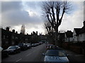

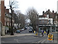
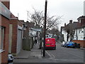
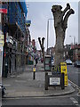
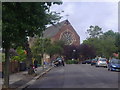
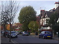
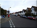
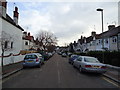
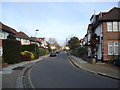
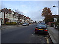
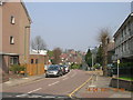
100 photos from this area
Area Information
Key information about the NW11 0JS including its size, population, and administrative classification.
- Area Type
- Postcode
- Area Size
- 2.0 hectares
- Population
- 1870
- Population Density
- 6021 people/km²
House Prices in NW11 0JS
31
Properties
£947,810
Average Sold Price
£222,500
Lowest Price
£1,800,000
Highest Price
Showing 31 properties
| Address | Type | Beds | Baths | Last Sale Price | Last Sale Date | |
|---|---|---|---|---|---|---|
| 109 Princes Park Avenue, Golders Green, London, NW11 0JS | Detached | 5 | 2 | £1,750,000 | Jan 2024 | |
| 93 Princes Park Avenue, Golders Green, London, NW11 0JS | house | - | - | £1,700,000 | Jul 2023 | |
| 97 Princes Park Avenue, Golders Green, London, NW11 0JS | house | 3 | 1 | £1,800,000 | Jun 2017 | |
| 119 Princes Park Avenue, Golders Green, London, NW11 0JS | house | - | - | £1,795,000 | Nov 2015 | |
| 107 Princes Park Avenue, Golders Green, London, NW11 0JS | Semi-detached | 4 | 2 | £1,175,000 | May 2015 | |
| 77 Princes Park Avenue, Golders Green, London, NW11 0JS | Semi-detached | 3 | - | £1,650,000 | Apr 2014 | |
| 87 Princes Park Avenue, Golders Green, London, NW11 0JS | house | - | - | £915,000 | Mar 2014 | |
| 69 Princes Park Avenue, Golders Green, London, NW11 0JS | house | - | - | £900,000 | Oct 2012 | |
| 63 Princes Park Avenue, Golders Green, London, NW11 0JS | Semi-detached | 1 | 2 | £825,000 | Sep 2012 | |
| 95 Princes Park Avenue, Golders Green, London, NW11 0JS | house | 5 | - | £1,150,000 | Aug 2012 |
Page 1 of 4
Energy Efficiency in NW11 0JS
Amenities
Schools
| Rank | School | Type | Entry gender | Ages |
|---|
Explore more schools in this area
Go to Schools tabDemographics
Household Size
Family (3-5 people)
most common
Accommodation Type
Houses
most common
Tenure
58
majority
Ethnic Group
White
most common
Religion
N/A
most common
Household Composition
N/A
most common
Age
47
median
Adults (30-64 years)
most common
Household Deprivation
N/A
with no deprivation
NS-SEC
39
in Lower managerial occupations
Explore more demographic insights in this area
Go to Demographics tabPlanning
Planning Constraints
- Flood RiskPremium
- Ramsar Wetland SitesPremium
- Area of Outstanding Natural BeautyPremium
- Protected Nature ReservePremium
- Protected WoodlandPremium