Area Overview for NW10 6AU
Photos of NW10 6AU
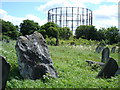
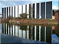

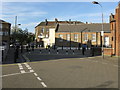
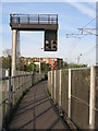
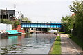
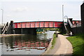
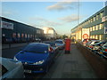
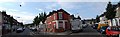
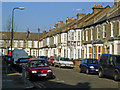
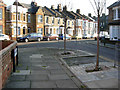
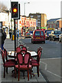
100 photos from this area
Area Information
Key information about the NW10 6AU including its size, population, and administrative classification.
- Area Type
- Postcode
- Area Size
- 7477 m²
- Population
- 1360
- Population Density
- 1077 people/km²
House Prices in NW10 6AU
43
Properties
£627,540
Average Sold Price
£167,000
Lowest Price
£1,070,000
Highest Price
Showing 43 properties
| Address | Type | Beds | Baths | Last Sale Price | Last Sale Date | |
|---|---|---|---|---|---|---|
| 67 Waldo Road, London, NW10 6AU | Terraced | 3 | 2 | £1,050,000 | Mar 2025 | |
| 69 Waldo Road, London, NW10 6AU | Terraced | 3 | 2 | £1,050,000 | Jun 2024 | |
| 31 Waldo Road, London, NW10 6AU | house | 4 | 2 | £1,070,000 | Mar 2023 | |
| 23 Waldo Road, London, NW10 6AU | Retail | 1 | 1 | £605,000 | Feb 2023 | |
| 55 Waldo Road, London, NW10 6AU | Terraced | 5 | 2 | £600,000 | Nov 2022 | |
| 63 Waldo Road, London, NW10 6AU | Flat | 2 | 1 | £450,000 | Aug 2022 | |
| 39 Waldo Road, London, NW10 6AU | Terraced | 4 | 2 | £670,000 | Oct 2019 | |
| 33 Waldo Road, London, NW10 6AU | Detached | 4 | 3 | £608,000 | Mar 2019 | |
| 15 Waldo Road, London, NW10 6AU | Terraced | 2 | 1 | £775,000 | May 2018 | |
| 13 Waldo Road, London, NW10 6AU | Terraced | 3 | 1 | £810,000 | Dec 2017 |
Page 1 of 5
Energy Efficiency in NW10 6AU
Amenities
Schools
| Rank | School | Type | Entry gender | Ages |
|---|
Explore more schools in this area
Go to Schools tabDemographics
Household Size
One person
most common
Accommodation Type
Flats
most common
Tenure
40
majority
Ethnic Group
White
most common
Religion
N/A
most common
Household Composition
N/A
most common
Age
47
median
Adults (30-64 years)
most common
Household Deprivation
N/A
with no deprivation
NS-SEC
33
in Lower managerial occupations
Explore more demographic insights in this area
Go to Demographics tabPlanning
Planning Constraints
- Flood RiskPremium
- Ramsar Wetland SitesPremium
- Area of Outstanding Natural BeautyPremium
- Protected Nature ReservePremium
- Protected WoodlandPremium