Area Overview for NW10 5TN
Photos of NW10 5TN
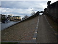
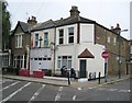
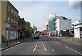
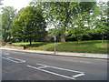
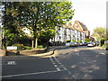
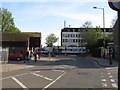
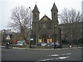
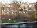
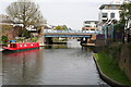
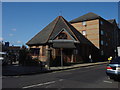


100 photos from this area
Area Information
Key information about the NW10 5TN including its size, population, and administrative classification.
- Area Type
- Postcode
- Area Size
- 1.6 hectares
- Population
- 1587
- Population Density
- 14069 people/km²
House Prices in NW10 5TN
90
Properties
£594,096
Average Sold Price
£147,000
Lowest Price
£1,290,000
Highest Price
Showing 90 properties
| Address | Type | Beds | Baths | Last Sale Price | Last Sale Date | |
|---|---|---|---|---|---|---|
| Former, 173 Mortimer Road, London, NW10 5TN | Terraced | 3 | 1 | £1,290,000 | Apr 2024 | |
| 75 Mortimer Road, London, NW10 5TN | Terraced | 5 | 5 | £920,000 | Oct 2016 | |
| 159 Mortimer Road, London, NW10 5TN | Terraced | 3 | - | £950,000 | Jan 2016 | |
| 145 Mortimer Road, London, NW10 5TN | Terraced | 6 | 3 | £1,100,000 | Jul 2015 | |
| 89 Mortimer Road, London, NW10 5TN | Semi-detached | 4 | 1 | £883,000 | May 2014 | |
| 127 Mortimer Road, London, NW10 5TN | house | - | - | £800,000 | Jul 2013 | |
| 81 Mortimer Road, London, NW10 5TN | Flat | - | - | £272,500 | Apr 2012 | |
| 135 Mortimer Road, London, NW10 5TN | Terraced | 4 | 1 | £485,000 | Oct 2009 | |
| 81A Mortimer Road, London, NW10 5TN | Flat | - | - | £395,000 | Sep 2007 | |
| 67 Mortimer Road, London, NW10 5TN | Semi-detached | - | - | £441,000 | May 2006 |
Page 1 of 9
Energy Efficiency in NW10 5TN
Amenities
Schools
| Rank | School | Type | Entry gender | Ages |
|---|
Explore more schools in this area
Go to Schools tabDemographics
Household Size
Family (3-5 people)
most common
Accommodation Type
Flats
most common
Tenure
46
majority
Ethnic Group
White
most common
Religion
N/A
most common
Household Composition
N/A
most common
Age
47
median
Adults (30-64 years)
most common
Household Deprivation
N/A
with no deprivation
NS-SEC
43
in Lower managerial occupations
Explore more demographic insights in this area
Go to Demographics tabPlanning
Planning Constraints
- Flood RiskPremium
- Ramsar Wetland SitesPremium
- Area of Outstanding Natural BeautyPremium
- Protected Nature ReservePremium
- Protected WoodlandPremium