Area Overview for NW10 5JE
Photos of NW10 5JE
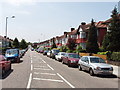
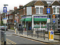
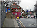
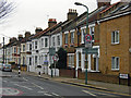
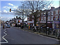
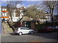
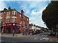
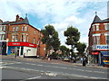
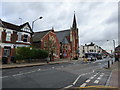
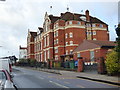
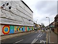

100 photos from this area
Area Information
Key information about the NW10 5JE including its size, population, and administrative classification.
- Area Type
- Postcode
- Area Size
- 9686 m²
- Population
- 1560
- Population Density
- 12411 people/km²
House Prices in NW10 5JE
62
Properties
£1,060,773
Average Sold Price
£276,500
Lowest Price
£1,950,000
Highest Price
Showing 62 properties
| Address | Type | Beds | Baths | Last Sale Price | Last Sale Date | |
|---|---|---|---|---|---|---|
| 57 Clifford Gardens, London, NW10 5JE | Terraced | 4 | 1 | £1,125,000 | May 2025 | |
| 33 Clifford Gardens, London, NW10 5JE | Terraced | 4 | 2 | £1,600,000 | Mar 2025 | |
| 25 Clifford Gardens, London, NW10 5JE | Terraced | 4 | 2 | £1,032,000 | Jun 2024 | |
| 63 Clifford Gardens, London, NW10 5JE | house | - | - | £1,950,000 | Jan 2024 | |
| 53 Clifford Gardens, London, NW10 5JE | Terraced | 4 | 2 | £1,165,000 | Dec 2020 | |
| 11 Clifford Gardens, London, NW10 5JE | Terraced | 4 | 2 | £1,100,000 | Aug 2018 | |
| 39 Clifford Gardens, London, NW10 5JE | Terraced | 4 | 3 | £1,210,000 | Aug 2015 | |
| 61 Clifford Gardens, London, NW10 5JE | Terraced | 3 | - | £930,000 | Jun 2013 | |
| 65 Clifford Gardens, London, NW10 5JE | house | - | - | £750,000 | Dec 2010 | |
| 31 Clifford Gardens, London, NW10 5JE | house | - | - | £530,000 | Oct 2009 |
Page 1 of 7
Energy Efficiency in NW10 5JE
Amenities
Schools
| Rank | School | Type | Entry gender | Ages |
|---|
Explore more schools in this area
Go to Schools tabDemographics
Household Size
Family (3-5 people)
most common
Accommodation Type
Houses
most common
Tenure
64
majority
Ethnic Group
White
most common
Religion
N/A
most common
Household Composition
N/A
most common
Age
47
median
Adults (30-64 years)
most common
Household Deprivation
N/A
with no deprivation
NS-SEC
44
in Lower managerial occupations
Explore more demographic insights in this area
Go to Demographics tabPlanning
Planning Constraints
- Flood RiskPremium
- Ramsar Wetland SitesPremium
- Area of Outstanding Natural BeautyPremium
- Protected Nature ReservePremium
- Protected WoodlandPremium