Area Overview for NW10 5DJ
Photos of NW10 5DJ
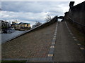
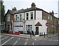
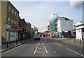
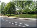
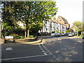
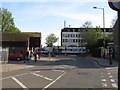
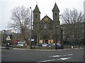
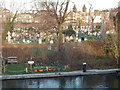

100 photos from this area
Area Information
Key information about the NW10 5DJ including its size, population, and administrative classification.
- Area Type
- Postcode
- Area Size
- 7291 m²
- Population
- 1587
- Population Density
- 14069 people/km²
House Prices in NW10 5DJ
48
Properties
£783,400
Average Sold Price
£11,500
Lowest Price
£1,345,000
Highest Price
Showing 48 properties
| Address | Type | Beds | Baths | Last Sale Price | Last Sale Date | |
|---|---|---|---|---|---|---|
| 14 Rainham Road, London, NW10 5DJ | Terraced | 4 | 2 | £1,345,000 | Mar 2025 | |
| 62 Rainham Road, London, NW10 5DJ | Detached | 3 | 2 | £1,100,000 | May 2024 | |
| 46 Rainham Road, London, NW10 5DJ | Terraced | 2 | 2 | £1,199,999 | Jan 2024 | |
| 36 Rainham Road, London, NW10 5DJ | Unknown | - | - | £725,000 | Jul 2023 | |
| 22 Rainham Road, London, NW10 5DJ | Semi-detached | 6 | 2 | £1,100,000 | May 2022 | |
| 24A Rainham Road, London, NW10 5DJ | Flat | - | - | £540,000 | Mar 2021 | |
| 38 Rainham Road, London, NW10 5DJ | Flat | - | - | £11,500 | Mar 2017 | |
| 30 Rainham Road, London, NW10 5DJ | Terraced | 3 | 4 | £700,000 | Mar 2013 | |
| 40 Rainham Road, London, NW10 5DJ | house | - | - | £660,000 | Jun 2007 | |
| 32 Rainham Road, London, NW10 5DJ | Terraced | 5 | 3 | £452,500 | Jul 2003 |
Page 1 of 5
Energy Efficiency in NW10 5DJ
Amenities
Schools
| Rank | School | Type | Entry gender | Ages |
|---|
Explore more schools in this area
Go to Schools tabDemographics
Household Size
Family (3-5 people)
most common
Accommodation Type
Flats
most common
Tenure
46
majority
Ethnic Group
White
most common
Religion
N/A
most common
Household Composition
N/A
most common
Age
47
median
Adults (30-64 years)
most common
Household Deprivation
N/A
with no deprivation
NS-SEC
43
in Lower managerial occupations
Explore more demographic insights in this area
Go to Demographics tabPlanning
Planning Constraints
- Flood RiskPremium
- Ramsar Wetland SitesPremium
- Area of Outstanding Natural BeautyPremium
- Protected Nature ReservePremium
- Protected WoodlandPremium