Area Overview for NW10 3DR
Photos of NW10 3DR
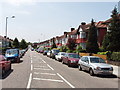
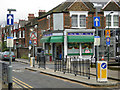
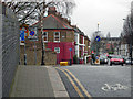
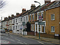
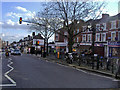
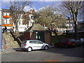
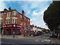
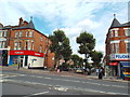
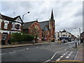
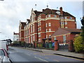
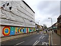

100 photos from this area
Area Information
Key information about the NW10 3DR including its size, population, and administrative classification.
- Area Type
- Postcode
- Area Size
- 7867 m²
- Population
- 1273
- Population Density
- 8047 people/km²
House Prices in NW10 3DR
43
Properties
£622,808
Average Sold Price
£145,000
Lowest Price
£1,500,000
Highest Price
Showing 43 properties
| Address | Type | Beds | Baths | Last Sale Price | Last Sale Date | |
|---|---|---|---|---|---|---|
| 88 Hanover Road, London, NW10 3DR | Terraced | 5 | 3 | £1,150,000 | Sep 2023 | |
| 76 Hanover Road, London, NW10 3DR | Flat | - | - | £700,000 | Dec 2022 | |
| 58 Hanover Road, London, NW10 3DR | Terraced | 4 | 1 | £1,500,000 | Aug 2019 | |
| 66 Hanover Road, London, NW10 3DR | Terraced | 4 | 2 | £1,115,000 | Feb 2018 | |
| 94 Hanover Road, London, NW10 3DR | Terraced | 2 | - | £780,000 | Dec 2012 | |
| 70A Hanover Road, London, NW10 3DR | Flat | 2 | 1 | £385,000 | Sep 2011 | |
| 90 Hanover Road, London, NW10 3DR | Maisonette | 3 | 2 | £250,000 | Jul 2009 | |
| 80 Hanover Road, London, NW10 3DR | Flat | - | - | £350,000 | Apr 2009 | |
| 96 Hanover Road, London, NW10 3DR | Terraced | 4 | 3 | £599,000 | Feb 2009 | |
| 92 Hanover Road, London, NW10 3DR | Flat | 2 | - | £232,500 | Jul 2006 |
Page 1 of 5
Energy Efficiency in NW10 3DR
Amenities
Schools
| Rank | School | Type | Entry gender | Ages |
|---|
Explore more schools in this area
Go to Schools tabDemographics
Household Size
Family (3-5 people)
most common
Accommodation Type
Houses
most common
Tenure
69
majority
Ethnic Group
White
most common
Religion
N/A
most common
Household Composition
N/A
most common
Age
47
median
Adults (30-64 years)
most common
Household Deprivation
N/A
with no deprivation
NS-SEC
42
in Lower managerial occupations
Explore more demographic insights in this area
Go to Demographics tabPlanning
Planning Constraints
- Flood RiskPremium
- Ramsar Wetland SitesPremium
- Area of Outstanding Natural BeautyPremium
- Protected Nature ReservePremium
- Protected WoodlandPremium