Area Overview for NW10 2LN
Photos of NW10 2LN
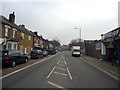
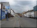
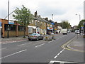
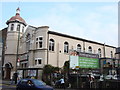
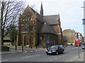
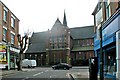
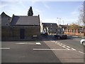
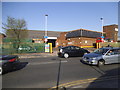
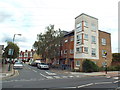
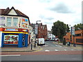
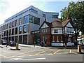
100 photos from this area
Area Information
Key information about the NW10 2LN including its size, population, and administrative classification.
- Area Type
- Postcode
- Area Size
- 4791 m²
- Population
- 2215
- Population Density
- 17964 people/km²
House Prices in NW10 2LN
41
Properties
£370,796
Average Sold Price
£80,000
Lowest Price
£699,950
Highest Price
Showing 41 properties
| Address | Type | Beds | Baths | Last Sale Price | Last Sale Date | |
|---|---|---|---|---|---|---|
| 23 Litchfield Gardens, London, NW10 2LN | Terraced | 3 | 1 | £660,000 | Sep 2024 | |
| 47A Litchfield Gardens, London, NW10 2LN | Flat | - | - | £515,000 | Nov 2021 | |
| 47 Litchfield Gardens, London, NW10 2LN | Flat | 3 | 2 | £490,000 | Jul 2020 | |
| 27 Litchfield Gardens, London, NW10 2LN | Terraced | 4 | 2 | £699,950 | Jul 2018 | |
| 39A Litchfield Gardens, London, NW10 2LN | Flat | - | - | £399,950 | Nov 2015 | |
| 29 Litchfield Gardens, London, NW10 2LN | house | - | - | £445,000 | Feb 2011 | |
| 45 Litchfield Gardens, London, NW10 2LN | Unknown | - | - | £295,000 | Dec 2004 | |
| 43 Litchfield Gardens, London, NW10 2LN | Terraced | 4 | 2 | £289,950 | Dec 2003 | |
| 15 Litchfield Gardens, London, NW10 2LN | Terraced | 4 | 1 | £275,000 | Oct 2003 | |
| 1 Litchfield Gardens, London, NW10 2LN | Terraced | 4 | 3 | £210,000 | Aug 2002 |
Page 1 of 5
Energy Efficiency in NW10 2LN
Amenities
Schools
| Rank | School | Type | Entry gender | Ages |
|---|
Explore more schools in this area
Go to Schools tabDemographics
Household Size
Family (3-5 people)
most common
Accommodation Type
Flats
most common
Tenure
24
majority
Ethnic Group
White
most common
Religion
N/A
most common
Household Composition
N/A
most common
Age
47
median
Adults (30-64 years)
most common
Household Deprivation
N/A
with no deprivation
NS-SEC
19
in Lower managerial occupations
Explore more demographic insights in this area
Go to Demographics tabPlanning
Planning Constraints
- Flood RiskPremium
- Ramsar Wetland SitesPremium
- Area of Outstanding Natural BeautyPremium
- Protected Nature ReservePremium
- Protected WoodlandPremium