Area Overview for NW10 2BL
Photos of NW10 2BL
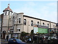
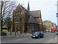
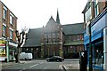
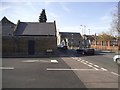
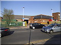
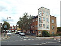
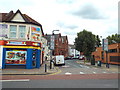
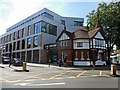
100 photos from this area
Area Information
Key information about the NW10 2BL including its size, population, and administrative classification.
- Area Type
- Postcode
- Area Size
- 4897 m²
- Population
- 1912
- Population Density
- 15503 people/km²
House Prices in NW10 2BL
29
Properties
£477,579
Average Sold Price
£20,000
Lowest Price
£1,485,000
Highest Price
Showing 29 properties
| Address | Type | Beds | Baths | Last Sale Price | Last Sale Date | |
|---|---|---|---|---|---|---|
| 5 Kings Road, London, NW10 2BL | Terraced | 5 | 5 | £1,485,000 | Oct 2024 | |
| 18 Kings Road, London, NW10 2BL | house | 3 | - | £830,000 | Dec 2014 | |
| 16 Kings Road, London, NW10 2BL | house | - | - | £500,000 | Mar 2012 | |
| 19 Kings Road, London, NW10 2BL | Terraced | 5 | 3 | £610,000 | Apr 2011 | |
| 17 Kings Road, London, NW10 2BL | Terraced | 3 | 1 | £520,000 | Mar 2011 | |
| 14 Kings Road, London, NW10 2BL | Semi-detached | - | - | £565,000 | Sep 2007 | |
| 4 Kings Road, London, NW10 2BL | house | - | - | £389,950 | Sep 2005 | |
| 9 Kings Road, London, NW10 2BL | house | - | - | £305,000 | Nov 2001 | |
| 12 Kings Road, London, NW10 2BL | Flat | 2 | 1 | £265,000 | Feb 2001 | |
| 13 Kings Road, London, NW10 2BL | Terraced | - | - | £148,000 | Nov 1997 |
Page 1 of 3
Energy Efficiency in NW10 2BL
Amenities
Schools
| Rank | School | Type | Entry gender | Ages |
|---|
Explore more schools in this area
Go to Schools tabDemographics
Household Size
Family (3-5 people)
most common
Accommodation Type
Flats
most common
Tenure
34
majority
Ethnic Group
White
most common
Religion
N/A
most common
Household Composition
N/A
most common
Age
47
median
Adults (30-64 years)
most common
Household Deprivation
N/A
with no deprivation
NS-SEC
31
in Lower managerial occupations
Explore more demographic insights in this area
Go to Demographics tabPlanning
Planning Constraints
- Flood RiskPremium
- Ramsar Wetland SitesPremium
- Area of Outstanding Natural BeautyPremium
- Protected Nature ReservePremium
- Protected WoodlandPremium