Area Overview for NW1 6UP
Photos of NW1 6UP
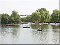
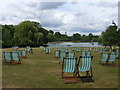
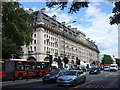
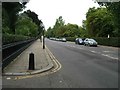
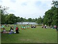
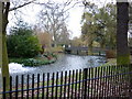

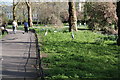
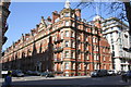
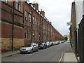
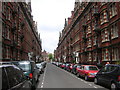
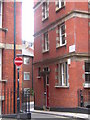
100 photos from this area
Area Information
Key information about the NW1 6UP including its size, population, and administrative classification.
- Area Type
- Postcode
- Area Size
- 3274 m²
- Population
- 1981
- Population Density
- 36415 people/km²
House Prices in NW1 6UP
44
Properties
£928,417
Average Sold Price
£471,500
Lowest Price
£1,800,000
Highest Price
Showing 44 properties
| Address | Type | Beds | Baths | Last Sale Price | Last Sale Date | |
|---|---|---|---|---|---|---|
| 95A Lisson Grove, London, NW1 6UP | Maisonette | - | - | £799,999 | Feb 2022 | |
| 109 Lisson Grove, London, NW1 6UP | house | 4 | - | £1,800,000 | Oct 2016 | |
| 105A Lisson Grove, London, NW1 6UP | Flat | 2 | 1 | £624,000 | Jul 2014 | |
| 131 Lisson Grove, London, NW1 6UP | house | 4 | - | £1,175,000 | Dec 2013 | |
| 105B Lisson Grove, London, NW1 6UP | Flat | - | - | £471,500 | May 2012 | |
| 129 Lisson Grove, London, NW1 6UP | Terraced | - | - | £700,000 | Jul 2007 | |
| 117B Lisson Grove, London, NW1 6UP | Maisonette | 2 | 2 | - | - | |
| Basement Flat, 127 Lisson Grove, London, NW1 6UP | Flat | 1 | 1 | - | - | |
| 119A Lisson Grove, London, NW1 6UP | Flat | 1 | 1 | - | - | |
| 113A Lisson Grove, London, NW1 6UP | Flat | 1 | 1 | - | - |
Page 1 of 5
Energy Efficiency in NW1 6UP
Amenities
Schools
| Rank | School | Type | Entry gender | Ages |
|---|
Explore more schools in this area
Go to Schools tabDemographics
Household Size
Family (3-5 people)
most common
Accommodation Type
Flats
most common
Tenure
16
majority
Ethnic Group
asian_total
most common
Religion
N/A
most common
Household Composition
N/A
most common
Age
47
median
Adults (30-64 years)
most common
Household Deprivation
N/A
with no deprivation
NS-SEC
22
in Lower managerial occupations
Explore more demographic insights in this area
Go to Demographics tabPlanning
Planning Constraints
- Flood RiskPremium
- Ramsar Wetland SitesPremium
- Area of Outstanding Natural BeautyPremium
- Protected Nature ReservePremium
- Protected WoodlandPremium