Area Overview for North Walworth Ward
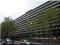
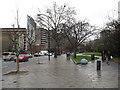
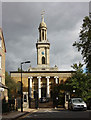
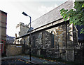
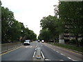
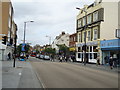
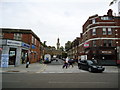
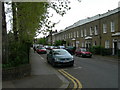
Photos of North Walworth Ward
Area Information
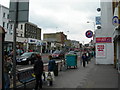
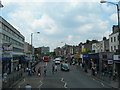
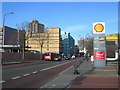
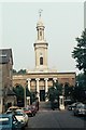
Living in North Walworth Ward means residing within a compact electoral ward of the London Borough of Southwark. This district covers 79.6 hectares and neighbours the wider Walworth Neighbourhood, placing it centrally in South London. The ward was formally established for use in the 2018 elections and elects three councillors to the Southwark London Borough Council. Residing here situates you near key local landmarks such as East Street Market, Burgess Park, and the historic Pullens Estate. You join a population of 5,831 people scattered across this specific geographic footprint. The area functions as a defined unit within the borough, bounded by official maps and civic structures. Its location near coordinates 51.49115453114332, -0.09222333008614507 situates it firmly within the urban fabric of South London. Daily life revolves around proximity to these established community assets while navigating the specific boundaries of this ward. Understanding the ward's structure helps you map your future home against the official electoral geography that defines local services and representation.
- Area Type
- District Borough Unitary Ward
- Area Size
- 79.6 hectares
- Population
- 5831
- Population Density
- 7322 people/km²
Demographics
The community makeup of North Walworth Ward reflects an older population with a median age of 70 years. This high figure suggests a residence base heavily weighted towards seniors, distinguishing the area from many younger London neighbourhoods. A significant portion of the 5,831 residents likely retires locally or chooses this zone for its established amenities. Home ownership stands at just 22%, indicating that the vast majority of households rent their properties. This low ownership rate defines the local economy and shapes the stability different property types provide. The ward accommodates total household compositions across the entire spectrum of family structures and single-person homes. While specific ethnic breakdowns and predominant religious affiliations are not detailed in current records, the total population figures provide the baseline for all demographic analysis. Deprivation data is not included in the available information, so you must rely on other indicators like the high median age to gauge the character of life here. The community is defined by this elderly demographic rather than young professionals or mixed-age families typical of other Southwark zones.
Household Size
Accommodation Type
Tenure
Ethnic Group
Religion
Household Composition
Age
Household Deprivation
NS-SEC
Explore more demographic insights in this area
Go to Demographics tabPlanning
Planning Constraints
- Flood RiskPremium
- Ramsar Wetland SitesPremium
- Area of Outstanding Natural BeautyPremium
- Protected Nature ReservePremium
- Protected WoodlandPremium
- Crime RiskPremium