Area Overview for N9 7NY
Photos of N9 7NY
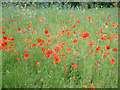
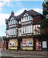
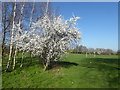
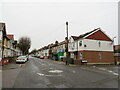
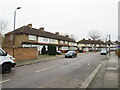
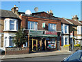
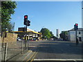
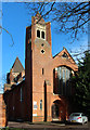
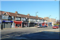
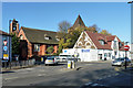
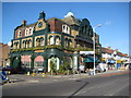
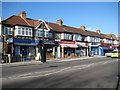
21 photos from this area
Area Information
Key information about the N9 7NY including its size, population, and administrative classification.
- Area Type
- Postcode
- Area Size
- 4984 m²
- Population
- 1588
- Population Density
- 8049 people/km²
House Prices in N9 7NY
20
Properties
£227,167
Average Sold Price
£87,000
Lowest Price
£416,500
Highest Price
Showing 20 properties
| Address | Type | Beds | Baths | Last Sale Price | Last Sale Date | |
|---|---|---|---|---|---|---|
| 21 Galliard Road, Edmonton, N9 7NY | Terraced | 3 | 1 | £416,500 | Jan 2024 | |
| 1A Galliard Road, Edmonton, N9 7NY | Detached | 4 | - | £310,000 | Jun 2013 | |
| 7 Galliard Road, Edmonton, N9 7NY | Terraced | 3 | 1 | £250,000 | Jul 2011 | |
| 23 Galliard Road, Edmonton, N9 7NY | Retirement | - | - | £290,000 | Jan 2007 | |
| 3B Galliard Road, Edmonton, N9 7NY | Flat | - | - | £129,000 | Apr 2005 | |
| 17 Galliard Road, Edmonton, N9 7NY | Terraced | - | - | £225,000 | Jan 2005 | |
| 19 Galliard Road, Edmonton, N9 7NY | Flat | - | - | £180,000 | Mar 2004 | |
| 3A Galliard Road, Edmonton, N9 7NY | Flat | - | - | £87,000 | Dec 2001 | |
| 1 Galliard Road, Edmonton, N9 7NY | house | - | - | £157,000 | Jul 2000 | |
| First Floor Flat, 9 Galliard Road, Edmonton, N9 7NY | Maisonette | 2 | 1 | - | - |
Page 1 of 2
Energy Efficiency in N9 7NY
Amenities
Schools
| Rank | School | Type | Entry gender | Ages |
|---|
Explore more schools in this area
Go to Schools tabDemographics
Household Size
Family (3-5 people)
most common
Accommodation Type
Houses
most common
Tenure
54
majority
Ethnic Group
White
most common
Religion
N/A
most common
Household Composition
N/A
most common
Age
47
median
Adults (30-64 years)
most common
Household Deprivation
N/A
with no deprivation
NS-SEC
25
in Lower managerial occupations
Explore more demographic insights in this area
Go to Demographics tabPlanning
Planning Constraints
- Flood RiskPremium
- Ramsar Wetland SitesPremium
- Area of Outstanding Natural BeautyPremium
- Protected Nature ReservePremium
- Protected WoodlandPremium