Area Overview for N9 0JJ
Photos of N9 0JJ
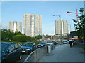
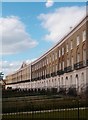
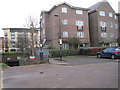
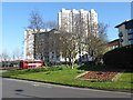
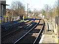
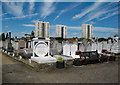
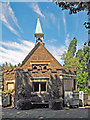
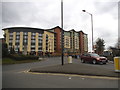
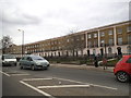
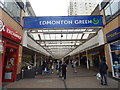
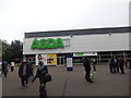
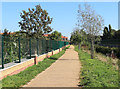
33 photos from this area
Area Information
Key information about the N9 0JJ including its size, population, and administrative classification.
- Area Type
- Postcode
- Area Size
- 5962 m²
- Population
- 2038
- Population Density
- 13277 people/km²
House Prices in N9 0JJ
40
Properties
£227,268
Average Sold Price
£49,000
Lowest Price
£455,000
Highest Price
Showing 40 properties
| Address | Type | Beds | Baths | Last Sale Price | Last Sale Date | |
|---|---|---|---|---|---|---|
| 27 Cornwallis Road, Edmonton, N9 0JJ | Terraced | 3 | - | £420,000 | Sep 2024 | |
| 51 Cornwallis Road, Edmonton, N9 0JJ | Flat | 4 | 3 | £455,000 | May 2024 | |
| 41 Cornwallis Road, Edmonton, N9 0JJ | Terraced | 2 | 1 | £380,000 | Jul 2023 | |
| 63 Cornwallis Road, Edmonton, N9 0JJ | Retail | 2 | 1 | £375,000 | May 2022 | |
| 37 Cornwallis Road, Edmonton, N9 0JJ | Terraced | 3 | 3 | £450,000 | Mar 2022 | |
| 39 Cornwallis Road, Edmonton, N9 0JJ | Terraced | 3 | - | £320,000 | Nov 2017 | |
| 15 Cornwallis Road, Edmonton, N9 0JJ | house | - | - | £280,000 | Mar 2017 | |
| 57 Cornwallis Road, Edmonton, N9 0JJ | house | - | - | £245,000 | Sep 2015 | |
| 31 Cornwallis Road, Edmonton, N9 0JJ | house | 4 | 1 | £265,000 | Jul 2015 | |
| 1 Cornwallis Road, Edmonton, N9 0JJ | house | - | - | £220,000 | Mar 2015 |
Page 1 of 4
Energy Efficiency in N9 0JJ
Amenities
Schools
| Rank | School | Type | Entry gender | Ages |
|---|
Explore more schools in this area
Go to Schools tabDemographics
Household Size
Family (3-5 people)
most common
Accommodation Type
Houses
most common
Tenure
48
majority
Ethnic Group
White
most common
Religion
N/A
most common
Household Composition
N/A
most common
Age
47
median
Adults (30-64 years)
most common
Household Deprivation
N/A
with no deprivation
NS-SEC
21
in Lower managerial occupations
Explore more demographic insights in this area
Go to Demographics tabPlanning
Planning Constraints
- Flood RiskPremium
- Ramsar Wetland SitesPremium
- Area of Outstanding Natural BeautyPremium
- Protected Nature ReservePremium
- Protected WoodlandPremium