Area Overview for N8 9NL
Photos of N8 9NL
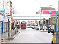

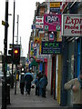
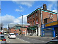
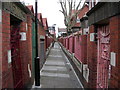

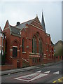
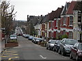
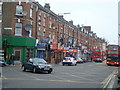
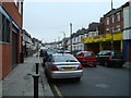
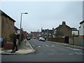
100 photos from this area
Area Information
Key information about the N8 9NL including its size, population, and administrative classification.
- Area Type
- Postcode
- Area Size
- 2.9 hectares
- Population
- 1562
- Population Density
- 6658 people/km²
House Prices in N8 9NL
41
Properties
£811,136
Average Sold Price
£276,000
Lowest Price
£1,460,000
Highest Price
Showing 41 properties
| Address | Type | Beds | Baths | Last Sale Price | Last Sale Date | |
|---|---|---|---|---|---|---|
| 2A Uplands Road, Hornsey, London, N8 9NL | Detached | 3 | 4 | £1,050,000 | Mar 2024 | |
| 28 Uplands Road, Hornsey, London, N8 9NL | Flat | - | - | £555,000 | Sep 2023 | |
| 38 Uplands Road, Hornsey, London, N8 9NL | Terraced | 6 | 2 | £1,460,000 | Feb 2021 | |
| 10 Uplands Road, Hornsey, London, N8 9NL | house | - | - | £1,138,000 | Feb 2021 | |
| 6 Uplands Road, Hornsey, London, N8 9NL | Terraced | 4 | 2 | £950,000 | Mar 2015 | |
| 8 Uplands Road, Hornsey, London, N8 9NL | Terraced | 4 | 2 | £1,132,500 | Dec 2014 | |
| 4 Uplands Road, Hornsey, London, N8 9NL | house | 5 | - | £820,000 | Oct 2011 | |
| 36 Uplands Road, Hornsey, London, N8 9NL | Terraced | - | - | £755,000 | May 2011 | |
| 44 Uplands Road, Hornsey, London, N8 9NL | house | 5 | - | £799,950 | Apr 2010 | |
| 34 Uplands Road, Hornsey, London, N8 9NL | house | - | - | £799,950 | Mar 2010 |
Page 1 of 5
Energy Efficiency in N8 9NL
Amenities
Schools
| Rank | School | Type | Entry gender | Ages |
|---|
Explore more schools in this area
Go to Schools tabDemographics
Household Size
Family (3-5 people)
most common
Accommodation Type
Flats
most common
Tenure
47
majority
Ethnic Group
White
most common
Religion
N/A
most common
Household Composition
N/A
most common
Age
47
median
Adults (30-64 years)
most common
Household Deprivation
N/A
with no deprivation
NS-SEC
52
in Lower managerial occupations
Explore more demographic insights in this area
Go to Demographics tabPlanning
Planning Constraints
- Flood RiskPremium
- Ramsar Wetland SitesPremium
- Area of Outstanding Natural BeautyPremium
- Protected Nature ReservePremium
- Protected WoodlandPremium