Area Overview for N8 8RJ
Photos of N8 8RJ
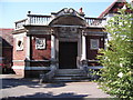
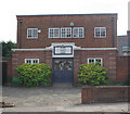
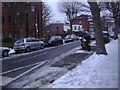
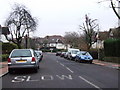
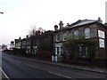
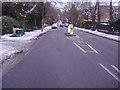
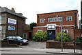
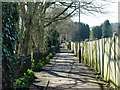
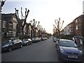
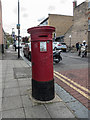
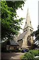
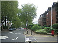
100 photos from this area
Area Information
Key information about the N8 8RJ including its size, population, and administrative classification.
- Area Type
- Postcode
- Area Size
- 1.6 hectares
- Population
- 1719
- Population Density
- 5994 people/km²
House Prices in N8 8RJ
48
Properties
£1,116,387
Average Sold Price
£216,000
Lowest Price
£2,260,000
Highest Price
Showing 48 properties
| Address | Type | Beds | Baths | Last Sale Price | Last Sale Date | |
|---|---|---|---|---|---|---|
| 15 Glasslyn Road, Hornsey, London, N8 8RJ | Terraced | 5 | 3 | £2,260,000 | Jul 2025 | |
| 55 Glasslyn Road, Hornsey, London, N8 8RJ | house | 6 | 3 | £2,200,000 | Oct 2023 | |
| 35 Glasslyn Road, Hornsey, London, N8 8RJ | Terraced | 4 | 2 | £1,535,000 | Aug 2023 | |
| 61 Glasslyn Road, Hornsey, London, N8 8RJ | Terraced | 4 | 2 | £1,805,000 | Oct 2022 | |
| 67 Glasslyn Road, Hornsey, London, N8 8RJ | Terraced | 5 | - | £1,775,000 | Jun 2021 | |
| 25 Glasslyn Road, Hornsey, London, N8 8RJ | house | - | - | £1,487,500 | May 2018 | |
| 37 Glasslyn Road, Hornsey, London, N8 8RJ | Terraced | - | - | £1,250,000 | Jan 2017 | |
| 11 Glasslyn Road, Hornsey, London, N8 8RJ | house | - | - | £1,470,000 | Oct 2016 | |
| 69 Glasslyn Road, Hornsey, London, N8 8RJ | house | - | - | £1,310,000 | Aug 2012 | |
| 47 Glasslyn Road, Hornsey, London, N8 8RJ | house | 4 | - | £1,125,000 | Mar 2012 |
Page 1 of 5
Energy Efficiency in N8 8RJ
Amenities
Schools
| Rank | School | Type | Entry gender | Ages |
|---|
Explore more schools in this area
Go to Schools tabDemographics
Household Size
Two person
most common
Accommodation Type
Flats
most common
Tenure
60
majority
Ethnic Group
White
most common
Religion
N/A
most common
Household Composition
N/A
most common
Age
47
median
Adults (30-64 years)
most common
Household Deprivation
N/A
with no deprivation
NS-SEC
62
in Lower managerial occupations
Explore more demographic insights in this area
Go to Demographics tabPlanning
Planning Constraints
- Flood RiskPremium
- Ramsar Wetland SitesPremium
- Area of Outstanding Natural BeautyPremium
- Protected Nature ReservePremium
- Protected WoodlandPremium